Albert Street, Brisbane

Gallery (4)
Map

Map
Gallery
Facts and practical information
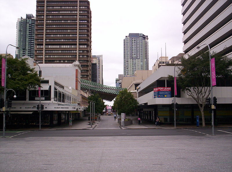
Albert Street is a street in the Brisbane CBD, Queensland, Australia. It was named after Prince Albert, the Prince Consort of Queen Victoria of the United Kingdom. Albert Street railway station is being built directly beneath the street and is expected to open in 2024. The station precinct includes partial road closures as planned in the 2014 City Centre Master Plan, for the creation of a new public space. ()
Coordinates: 27°28'10"S, 153°1'30"E
Address
Brisbane CityBrisbane
ContactAdd
Social media
Add
Getting there by public transportation
Public transportation stops near this location
- Bus
- Train
- Ferry
 Bus
Bus
- Calculate routeQueen Street station, 2A 2 min walk
- Calculate routeAdelaide Street stop 22 near City Hall 2 min walk
- Calculate routeQueen Street 2 min walk
- Calculate routeKing George Square, platform 2A 2 min walk
- Calculate routeCentral 7 min walk
- Calculate routeRoma Street 14 min walk
- Calculate routeSouth Bank 23 min walk
- Calculate routeFortitude Valley 28 min walk
- Calculate routeNorth Quay 1 8 min walk
- Calculate routeNorth Quay 2 8 min walk
- Calculate routeEagle Street Pier Ferry Terminal 10 min walk
- Calculate routeSouth Bank Ferry Terminal 1 13 min walk
Day trips


Frequently Asked Questions (FAQ)
Which popular attractions are close to Albert Street?
Nearby attractions include Brisbane Arcade, Brisbane (1 min walk), King George Square, Brisbane (3 min walk), Ann Street Presbyterian Church, Brisbane (3 min walk), Brisbane City Hall, Brisbane (4 min walk).
How to get to Albert Street by public transport?
The nearest stations to Albert Street:
Bus
Train
Ferry
Bus
- Queen Street station, 2A • Lines: 460 (2 min walk)
- Adelaide Street stop 22 near City Hall • Lines: 471, 476 (2 min walk)
Train
- Central (7 min walk)
- Roma Street (14 min walk)
Ferry
- North Quay 1 • Lines: Chop-400, Uqsl-1410 (8 min walk)
- North Quay 2 • Lines: Chop-400 (8 min walk)