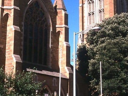
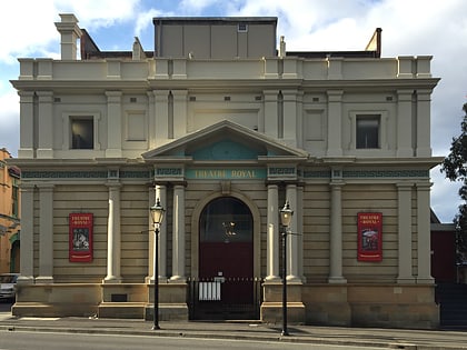
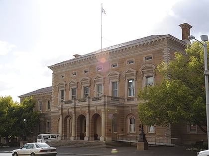
Davey Street, Hobart
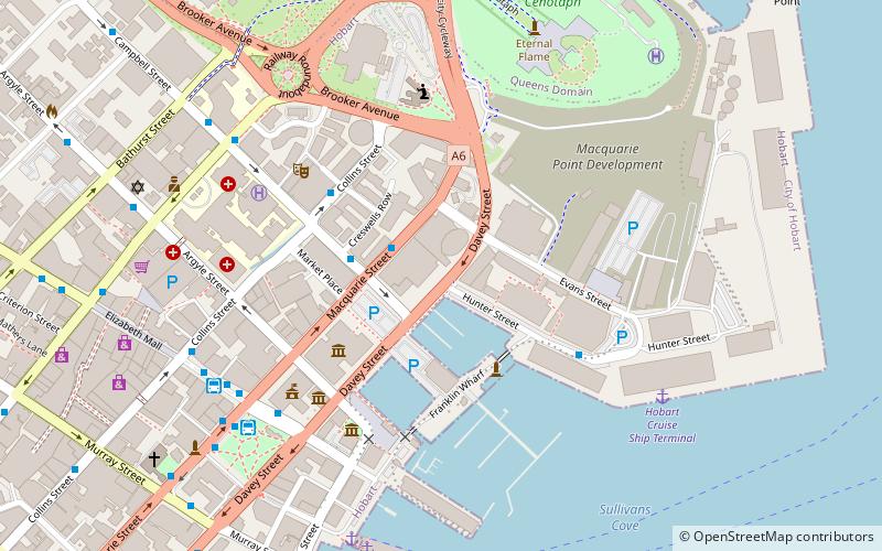
Map
Gallery
Facts and practical information
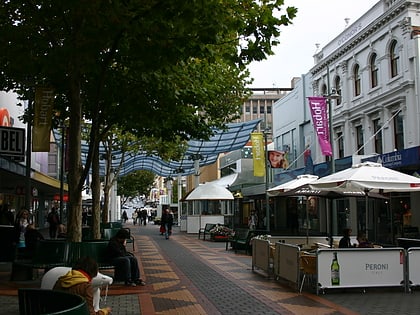
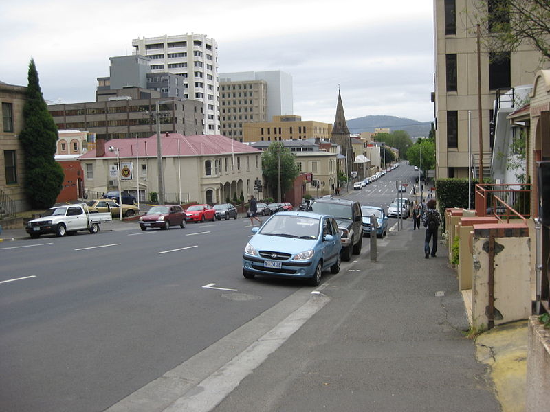
Davey Street a major one way street passing through the outskirts of the Hobart Central business district in Tasmania, Australia. Davey street is named after Thomas Davey, the first Governor of Van Diemen's Land. The street forms a one-way couplet with nearby Macquarie Street connecting traffic from the Southern Outlet in the south with traffic from the Tasman Highway to the east and the Brooker Highway to the north of the city. With annual average daily traffic of 37,200, the road is one of the busier streets in Hobart. ()
Coordinates: 42°52'51"S, 147°20'2"E
Address
Hobart
ContactAdd
Social media
Add
Day trips
Davey Street – popular in the area (distance from the attraction)
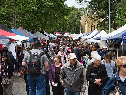
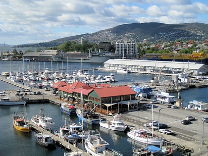
Nearby attractions include: Salamanca Market, Salamanca Place, Elizabeth Mall, Constitution Dock.
Frequently Asked Questions (FAQ)
Which popular attractions are close to Davey Street?
Nearby attractions include Hobart City Hall, Hobart (3 min walk), Art Mob, Hobart (3 min walk), Tasmanian Museum and Art Gallery, Hobart (4 min walk), Constitution Dock, Hobart (4 min walk).
How to get to Davey Street by public transport?
The nearest stations to Davey Street:
Bus
Bus
- Hobart City - Franklin Square (7 min walk)
- Hobart City Interchange (7 min walk)

