Greater Bendigo National Park

Gallery (1)
Map
Map
Facts and practical information
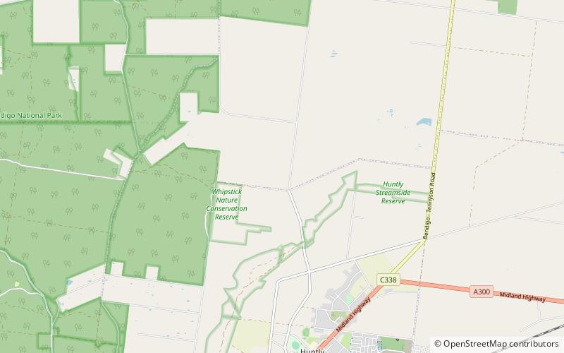
The Greater Bendigo National Park is a national park located in the Loddon Mallee region of Victoria, Australia. The 17,020-hectare national park was created in 2002 from the former Whipstick State Park, Kamarooka State Park, One Tree Hill Regional Park, Mandurang State Forest and the Sandhurst State Forest. ()
Established: 30 October 2002 (23 years ago)Area: 6566.43 mi²Elevation: 568 ft a.s.l.Coordinates: 36°37'44"S, 144°19'37"E