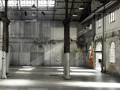
Sydney Park, Sydney
Map
Gallery
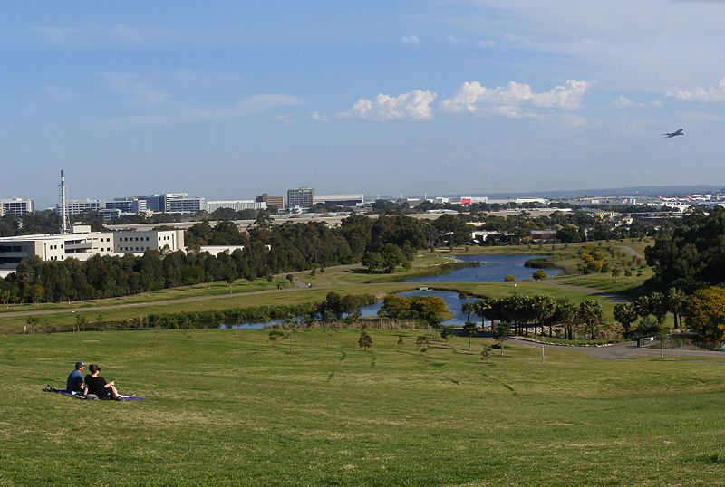
Facts and practical information
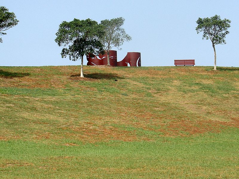
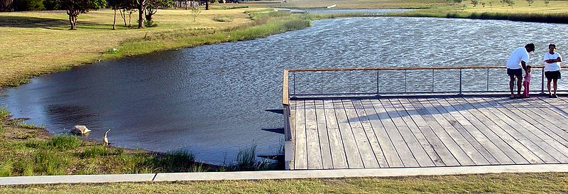
Sydney Park is a 41.6-hectare recreational area in the inner-city area of Sydney, New South Wales, Australia. The parkland is located in the suburb of Alexandria, sitting along the borders with Newtown and Erskineville. ()
Created: 11 February 1991Elevation: 26 ft a.s.l.Coordinates: 33°54'37"S, 151°11'2"E
Day trips
Sydney Park – popular in the area (distance from the attraction)
Nearby attractions include: Carriageworks, Camperdown Cemetery, Enmore Theatre, Waterloo Town Hall.
Frequently Asked Questions (FAQ)
Which popular attractions are close to Sydney Park?
Nearby attractions include Erskineville, Sydney (10 min walk), St Peters Church, Sydney (12 min walk), New Theatre, Sydney (14 min walk), Erskineville Town Hall, Sydney (19 min walk).
How to get to Sydney Park by public transport?
The nearest stations to Sydney Park:
Train
Bus
Train
- St Peters (8 min walk)
- Erskineville (18 min walk)
Bus
- Erskineville, Erskineville Road nr Prospect Street • Lines: 355 (19 min walk)
- Stand D, Mascot Station • Lines: 418 (24 min walk)



 Sydney Trains
 Sydney Light Rail
 Sydney Ferries