Curtin House, Melbourne
Map
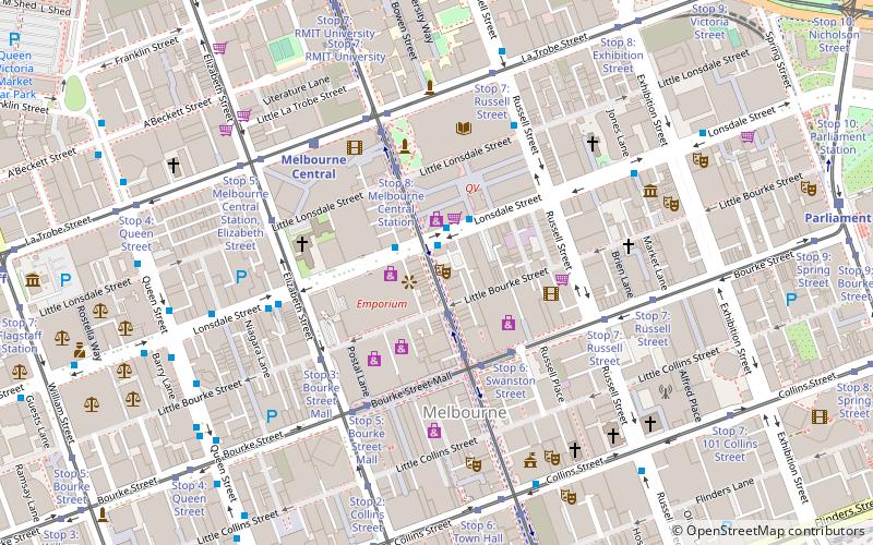
Map

Facts and practical information
Curtin House is a six-storey Commercial Palazzo style building on Swanston Street in the Melbourne city centre, built in 1922 for the Tattersalls Club with offices to rent, and transformed in the early 2000s into a 'vertical laneway', with a range of specialist retailing, dining, and entertainment spaces occupying every floor and the roof. ()
Opened: 1922 (104 years ago)Architectural style: Art NouveauFloors: 6Coordinates: 37°48'43"S, 144°57'54"E
Day trips
Curtin House – popular in the area (distance from the attraction)
Nearby attractions include: Bourke Street Mall, Melbourne Central, Emporium Melbourne, Royal Arcade.
Frequently Asked Questions (FAQ)
Which popular attractions are close to Curtin House?
Nearby attractions include Rooftop Cinema, Melbourne (1 min walk), Lonsdale Street, Melbourne (1 min walk), Caledonian Lane, Melbourne (1 min walk), RMIT Gallery, Melbourne (3 min walk).
How to get to Curtin House by public transport?
The nearest stations to Curtin House:
Bus
Tram
Train
Ferry
Bus
- Melbourne Central/Lonsdale Street • Lines: 200, 207, 250, 251, 303, 350 (1 min walk)
- Tattersalls Lane/Lonsdale Street • Lines: 303 (2 min walk)
Tram
- Stop 10: Bourke Street Mall • Lines: 1, 16, 16d, 3, 3a, 5, 6, 64, 64d, 67, 67d, 6d, 72 (2 min walk)
- Stop 6: Swanston Street • Lines: 86, 86a, 86d, 96, 96d (3 min walk)
Train
- Melbourne Central (5 min walk)
- Flinders Street (11 min walk)
Ferry
- Port Phillip Ferries (30 min walk)

 Melbourne Trams
 Victoria Trains
