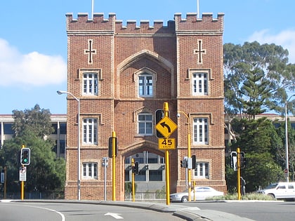
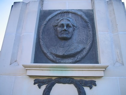
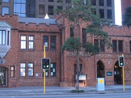
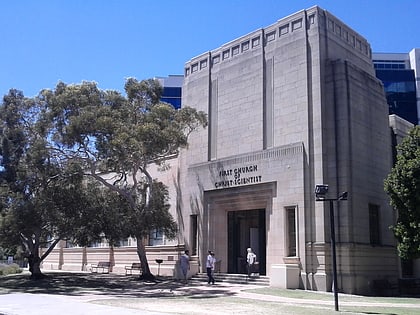
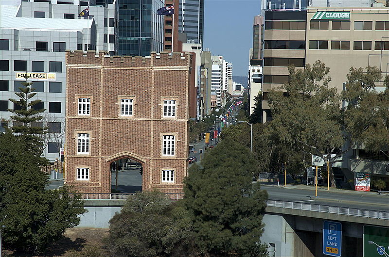
Barracks Arch, Perth
Map
Gallery
Facts and practical information
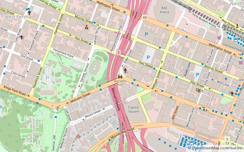
The Barracks Arch is located on the corner of Malcolm and Elder Streets, at the western end of St Georges Terrace in Perth, Western Australia. ()
Coordinates: 31°57'8"S, 115°50'56"E
Day trips
Barracks Arch – popular in the area (distance from the attraction)
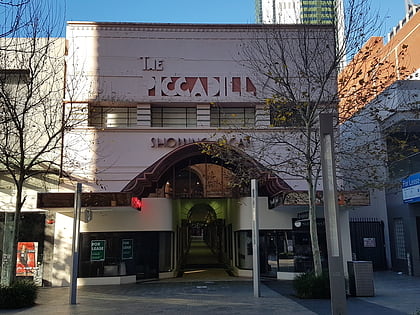
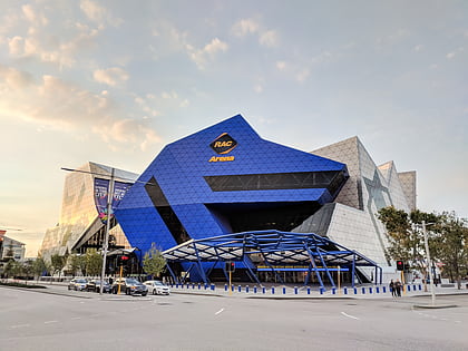
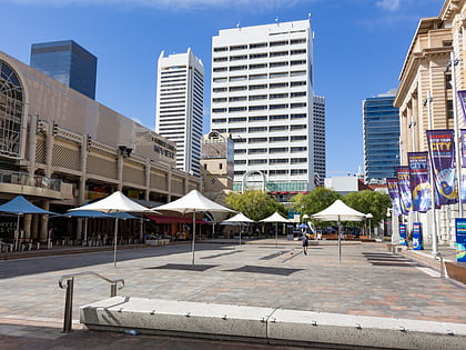
Nearby attractions include: Scitech, Piccadilly Theatre and Arcade, Perth Arena, Carillon City.
Frequently Asked Questions (FAQ)
Which popular attractions are close to Barracks Arch?
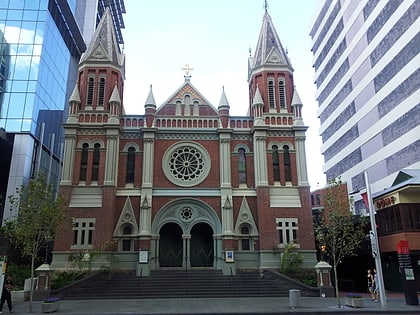
Nearby attractions include First Church of Christ, Perth (1 min walk), Solidarity Park, Perth (5 min walk), Woodside Plaza, Perth (5 min walk), Bishop's House, Perth (5 min walk).
How to get to Barracks Arch by public transport?
The nearest stations to Barracks Arch:
Bus
Train
Ferry
Bus
- Milligan Street • Lines: 5F, 5T (2 min walk)
- Harvest Terrace • Lines: 5F, 5T (3 min walk)
Train
- Elizabeth Quay (13 min walk)
- City West (15 min walk)
Ferry
- Elizabeth Quay Ferry Terminal • Lines: Transperth Ferry - Elizabeth Qua, Transperth Ferry - Mends Street (15 min walk)
- Barrack Street Jetty • Lines: Express (21 min walk)
