Langley Park, Perth
Map
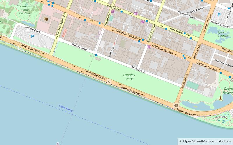
Map

Facts and practical information
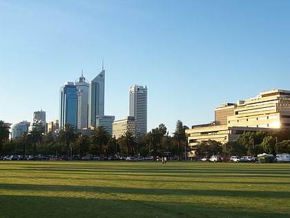
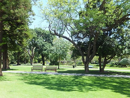
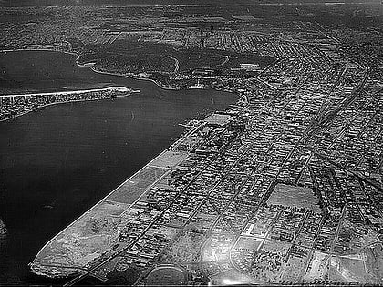
Langley Park is an open space in the central business district of Perth, Western Australia. Running alongside Riverside Drive, it is grassed, rectangular in shape and has dimensions 900 x 100 m. It was created by reclaiming land from the adjacent Swan River between 1921 and 1935, to provide open space near the city. ()
Elevation: 0 ft a.s.l.Coordinates: 31°57'41"S, 115°52'8"E
Day trips
Langley Park – popular in the area (distance from the attraction)
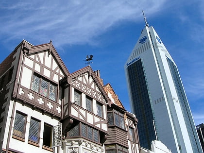
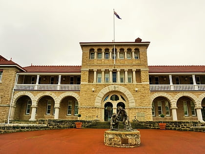
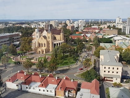
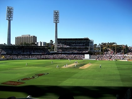
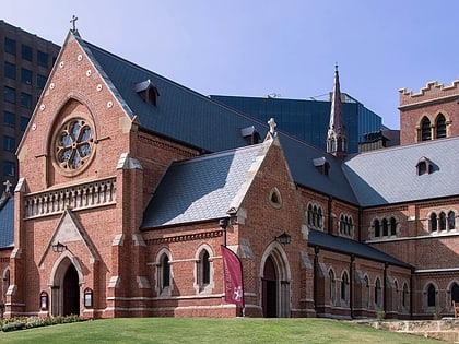
Nearby attractions include: London Court, Perth Mint, St Mary's Cathedral, WACA Ground.
Frequently Asked Questions (FAQ)
Which popular attractions are close to Langley Park?
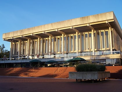
Nearby attractions include Adelaide Terrace, Perth (5 min walk), Perth Mint, Perth (8 min walk), Perth Water, Perth (8 min walk), Perth Concert Hall, Perth (10 min walk).
How to get to Langley Park by public transport?
The nearest stations to Langley Park:
Bus
Ferry
Train
Bus
- 10073 • Lines: 288, 293, 930 (5 min walk)
- 10136 • Lines: 288, 930 (5 min walk)
Ferry
- Barrack Street Jetty • Lines: Express (16 min walk)
- Elizabeth Quay Ferry Terminal • Lines: Transperth Ferry - Elizabeth Qua, Transperth Ferry - Mends Street (21 min walk)
Train
- McIver (18 min walk)
- Claisebrook (22 min walk)
