Hyde Park, Perth
Map
Gallery
Facts and practical information
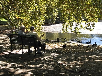
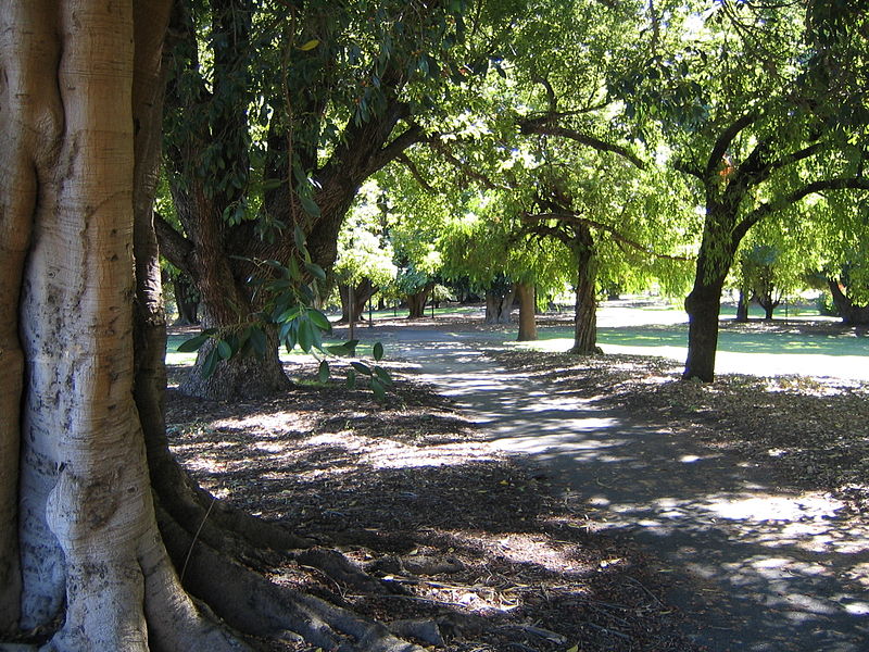
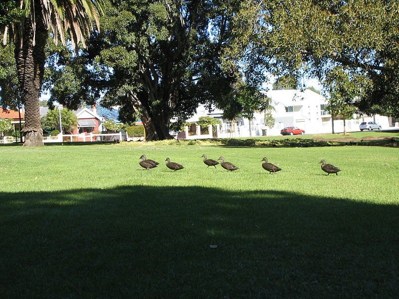
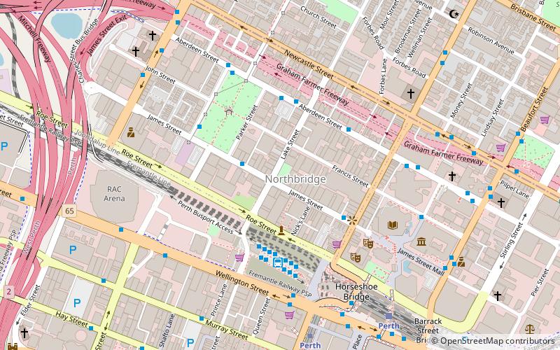
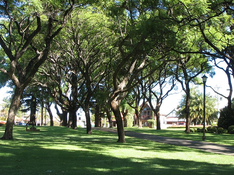
Hyde Park is an inner-city park in Perth, the state capital of Western Australia. It is located in the north-east corner of the suburb of Perth – 2 km north of the central business district – surrounded by Vincent, William, Glendower and Throssell Streets. ()
Elevation: 85 ft a.s.l.Coordinates: 31°56'16"S, 115°51'47"E
Address
Vincent StPerth CBDPerth 6000
ContactAdd
Social media
Add
Day trips
Hyde Park – popular in the area (distance from the attraction)
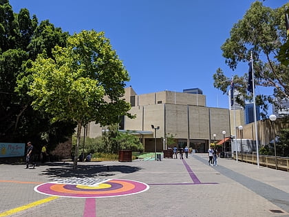
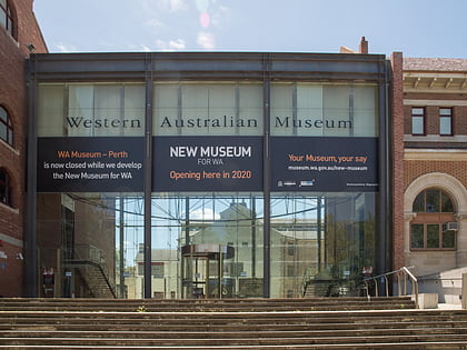
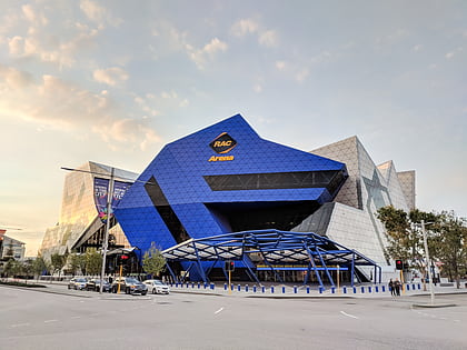
Nearby attractions include: Art Gallery of Western Australia, Western Australian Museum, Perth Arena, Forrest Chase.
Frequently Asked Questions (FAQ)
Which popular attractions are close to Hyde Park?
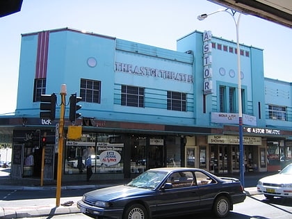
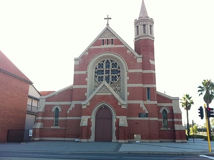
Nearby attractions include Astone Lane, Perth (9 min walk), Perth Mosque, Perth (11 min walk), Redemptorist Monastery, Perth (13 min walk), Astor Theatre, Perth (16 min walk).
How to get to Hyde Park by public transport?
The nearest stations to Hyde Park:
Bus
Train
Bus
- William Street after Glendower Street • Lines: 60 (4 min walk)
Train
- East Perth (24 min walk)
- Perth (25 min walk)
