Bendora Dam
Map
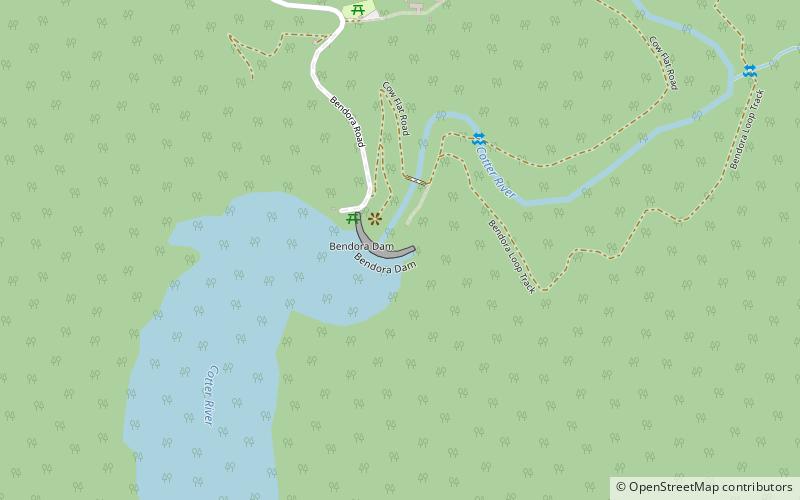
Map

Facts and practical information
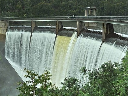
The Bendora Dam is a thin-wall, double curvature concrete arch dam across the upper reaches of the Cotter River, located within Namadgi National Park in the Australian Capital Territory, Australia. The impounded reservoir is called the Bendora Reservoir which is a supply source of potable water for the city of Canberra and its environs. ()
Opened: 1970 (56 years ago)Length: 571 ftHeight: 154 ftReservoir area: 185.33 acres (0.2896 mi²)Coordinates: 35°26'48"S, 148°49'44"E
Day trips
Bendora Dam – popular in the area (distance from the attraction)
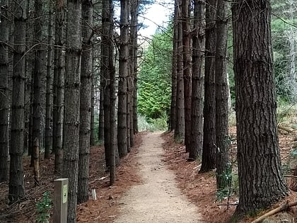
Nearby attractions include: Mount Franklin, Bendora Arboretum, Ginini Flats Wetlands Ramsar Site.
