Hobart City Hall, Hobart
Map
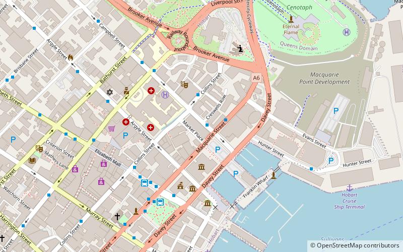
Map

Facts and practical information
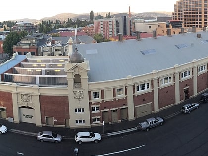
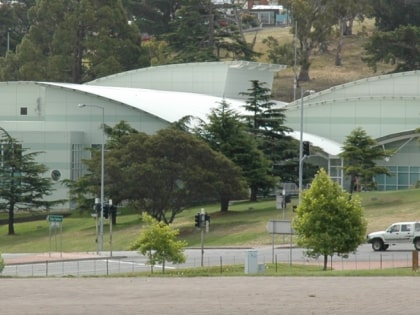
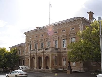
Hobart City Hall is a public auditorium and concert venue in Hobart, Tasmania, which together with the Derwent Entertainment Centre forms one of the two major public venues in the city. It is also a commonly used emergency center during disasters such as the 2013 Tasmanian bushfires. Despite its name it is not the City of Hobart's seat of government, which is Hobart Town Hall – historically a matter of confusion. ()
Coordinates: 42°52'51"S, 147°19'55"E
Address
Macquarie StHobart
ContactAdd
Social media
Add
Day trips
Hobart City Hall – popular in the area (distance from the attraction)
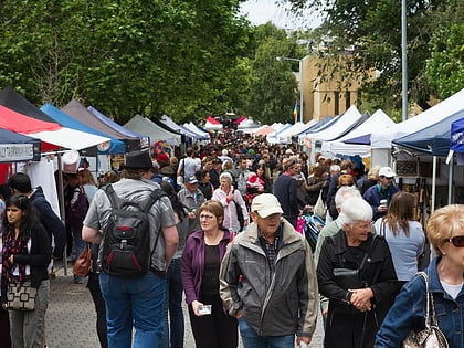
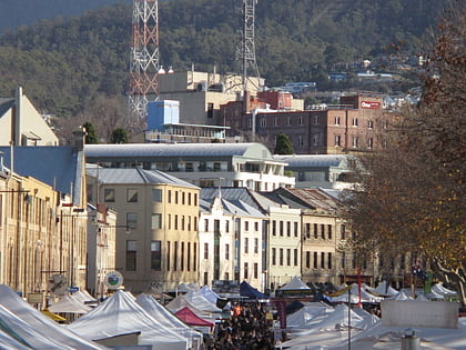
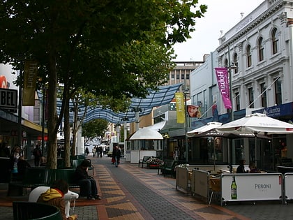
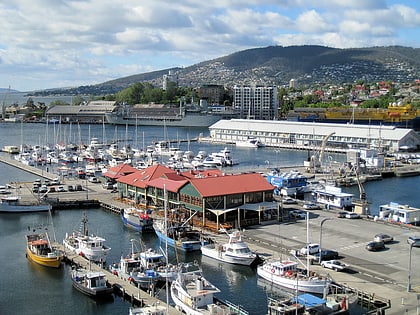
Nearby attractions include: Salamanca Market, Salamanca Place, Elizabeth Mall, Constitution Dock.
Frequently Asked Questions (FAQ)
Which popular attractions are close to Hobart City Hall?
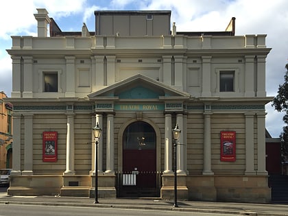
Nearby attractions include Tasmanian Museum and Art Gallery, Hobart (3 min walk), Theatre Royal, Hobart (3 min walk), Davey Street, Hobart (3 min walk), Maritime Museum of Tasmania, Hobart (4 min walk).
How to get to Hobart City Hall by public transport?
The nearest stations to Hobart City Hall:
Bus
Bus
- Hobart City Interchange (5 min walk)
- Hobart City - Franklin Square (5 min walk)
