Musgrave Park, Brisbane
Map
Gallery

Facts and practical information
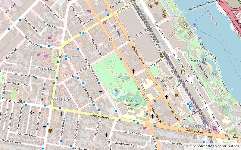
Musgrave Park is a park in South Brisbane, Queensland, Australia. The park is bordered by Edmonstone, Russell, and Cordelia Streets, and Brisbane State High School, and has an area of 63,225 square metres. The park is of cultural significance to Aboriginal Australians. ()
Created: 1856Elevation: 46 ft a.s.l.Coordinates: 27°28'44"S, 153°1'1"E
Day trips
Musgrave Park – popular in the area (distance from the attraction)
Nearby attractions include: Gallery of Modern Art, QAGOMA, South Bank Parklands, Queensland Museum.
Frequently Asked Questions (FAQ)
Which popular attractions are close to Musgrave Park?
Nearby attractions include Queensland Centre for Photography, Brisbane (3 min walk), South Brisbane, Brisbane (6 min walk), St Andrews Anglican Church, Brisbane (6 min walk), South Bank Piazza, Brisbane (8 min walk).
How to get to Musgrave Park by public transport?
The nearest stations to Musgrave Park:
Bus
Ferry
Train
Bus
- South Bank busway station, platform 1 • Lines: 100, 204, 61 (9 min walk)
- South Bank (9 min walk)
Ferry
- South Bank Ferry Terminal 1 • Lines: Uqsl-1410 (10 min walk)
- South Bank 3 Ferry Terminal • Lines: Chop-400 (13 min walk)
Train
- South Bank (11 min walk)
- Roma Street (25 min walk)


