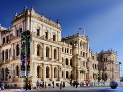
West End, Brisbane
Map
Gallery
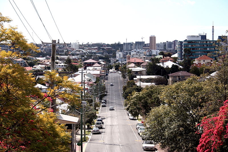
Facts and practical information
West End is an inner southern suburb in the City of Brisbane, Queensland, Australia. In the 2016 census, West End had a population of 9,474 people. ()
Established: 1860 (166 years ago)Coordinates: 27°28'49"S, 153°0'43"E
Address
West EndBrisbane
ContactAdd
Social media
Add
Day trips
West End – popular in the area (distance from the attraction)
Nearby attractions include: QAGOMA, South Bank Parklands, Queensland Museum, Queensland Art Gallery.
Frequently Asked Questions (FAQ)
Which popular attractions are close to West End?
Nearby attractions include Kurilpa Library, Brisbane (4 min walk), Musgrave Park, Brisbane (9 min walk), Queensland Centre for Photography, Brisbane (10 min walk), St Andrews Anglican Church, Brisbane (12 min walk).
How to get to West End by public transport?
The nearest stations to West End:
Bus
Train
Ferry
Bus
- South Bank busway station, platform 1 • Lines: 100, 204, 61 (16 min walk)
- South Bank (16 min walk)
Train
- South Bank (18 min walk)
- Milton (23 min walk)
Ferry
- South Bank Ferry Terminal 1 • Lines: Uqsl-1410 (18 min walk)
- South Bank 3 Ferry Terminal • Lines: Chop-400 (21 min walk)


