William Street, Brisbane
Map

Gallery

Facts and practical information
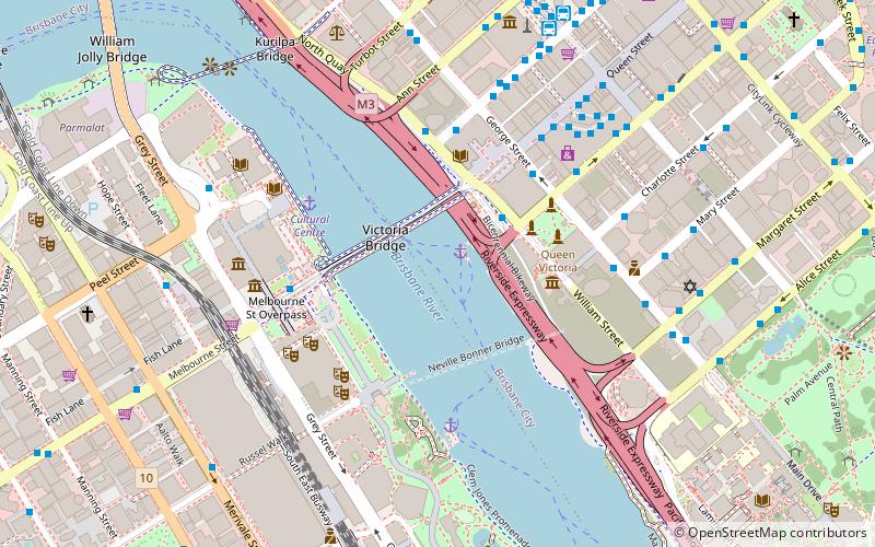
William Street is a small, relatively quiet road in the uptown part of the Brisbane central business district. The street is historically significant to the city's early development as a penal colony. The first convict buildings were built along William Street in 1825. ()
Coordinates: 27°28'23"S, 153°1'19"E
Address
Brisbane CityBrisbane
ContactAdd
Social media
Add
Day trips
William Street – popular in the area (distance from the attraction)
Nearby attractions include: Queen Street Mall, QAGOMA, South Bank Parklands, The Myer Centre.
Frequently Asked Questions (FAQ)
Which popular attractions are close to William Street?
Nearby attractions include Northbank, Brisbane (2 min walk), Victoria Bridge, Brisbane (2 min walk), Old State Library Building, Brisbane (3 min walk), Victoria Bridge Abutment, Brisbane (4 min walk).
How to get to William Street by public transport?
The nearest stations to William Street:
Ferry
Bus
Train
Ferry
- North Quay 1 • Lines: Chop-400, Uqsl-1410 (1 min walk)
- North Quay 2 • Lines: Chop-400 (2 min walk)
Bus
- George Street Stop 116 • Lines: N100, N339 (5 min walk)
- North Quay Island Stop 109 near Adelaide St • Lines: 475 (5 min walk)
Train
- Central (15 min walk)
- South Bank (16 min walk)


