Yellagonga Regional Park, Perth
Map
Gallery
Facts and practical information
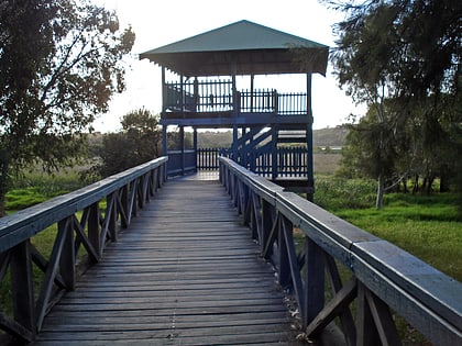
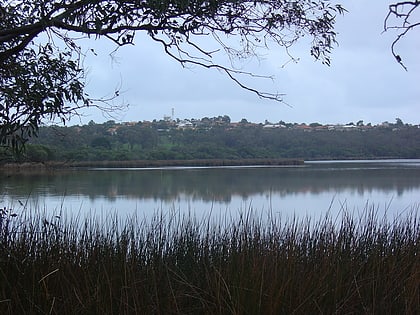
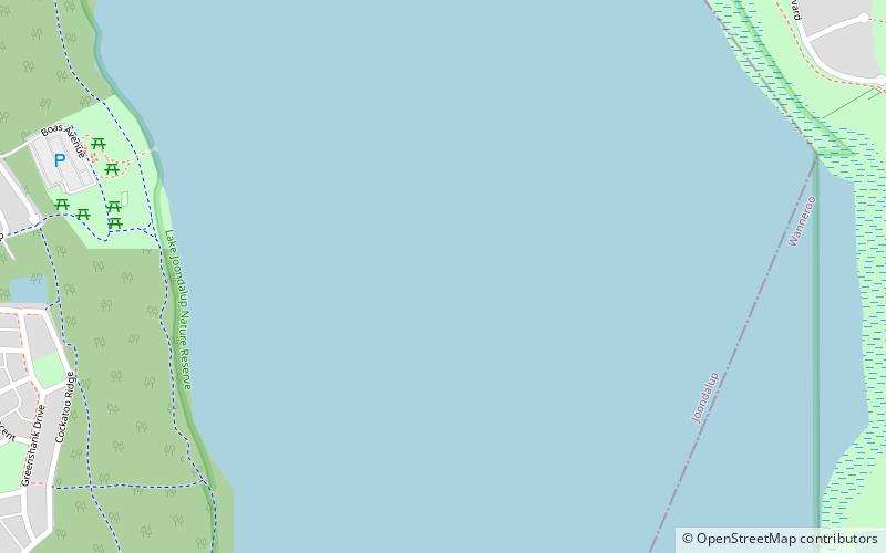
Yellagonga Regional Park is in Perth, Western Australia, in the City of Wanneroo and the City of Joondalup. The park was established in 1989 by the Western Australian government and protects 1,400 hectares of land, including 550 hectares of Wanneroo wetlands – including Lake Joondalup, Beenup Swamp, Walluburnup Swamp and Lake Goollelal. ()
Elevation: 39 ft a.s.l.Coordinates: 31°44'42"S, 115°47'6"E
Address
Perth
ContactAdd
Social media
Add
Day trips
Yellagonga Regional Park – popular in the area (distance from the attraction)
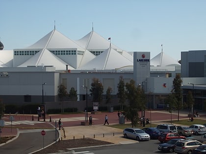
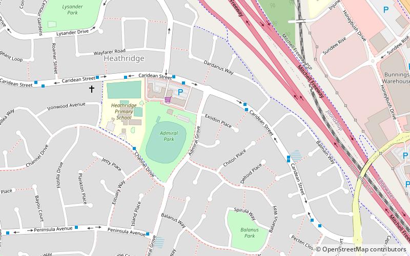
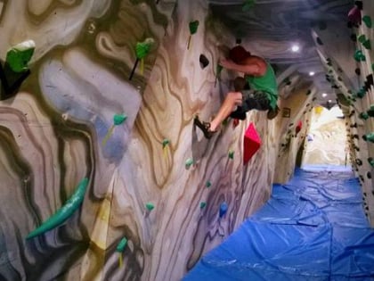
Nearby attractions include: Lakeside Joondalup Shopping City, Lake Joondalup, Heathridge, Joondalup Climbing Centre.
Frequently Asked Questions (FAQ)
Which popular attractions are close to Yellagonga Regional Park?
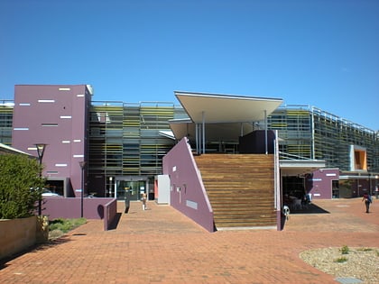
Nearby attractions include Lake Joondalup, Perth (2 min walk), Edith Cowan University, Perth (23 min walk).
How to get to Yellagonga Regional Park by public transport?
The nearest stations to Yellagonga Regional Park:
Bus
Train
Bus
- Lakeside Drive before Grassbird Avenue • Lines: 11 (16 min walk)
- Lakeside Drive after Grassbird Avenue • Lines: 10 (16 min walk)
Train
- Joondalup (27 min walk)
