Heathcote-Graytown National Park
Map

Map

Facts and practical information
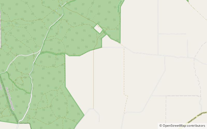
The Heathcote-Graytown National Park is a national park located in the North Central region of Victoria, Australia. The 12,833-hectare national park, which includes sections of the Great Dividing Range, adjoins a number of state forests, including the McIvor Ranges State Forest and is located just outside the town of Heathcote. ()
Established: 30 October 2002 (23 years ago)Area: 49.03 mi²Elevation: 545 ft a.s.l.Coordinates: 36°48'31"S, 144°51'36"E
