Cunnawarra National Park
Map

Map

Facts and practical information
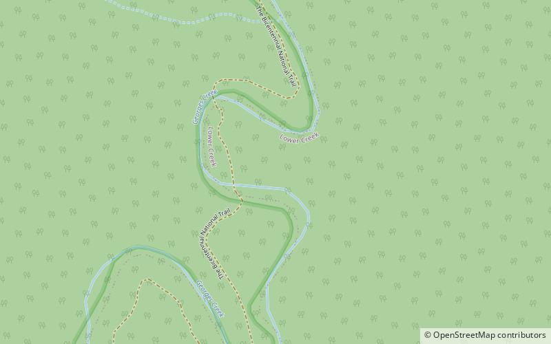
Cunnawarra is a national park located in New South Wales, Australia, 80 kilometres east of Armidale, 10 kilometres off the Waterfall Way and 565 kilometres north of Sydney. The 25-kilometre Styx River Forest Way runs from the Point Lookout Road through Cunnawarra National Park to the Kempsey Road. The New England National Park adjoins the Cunnawarra National Park on the north-eastern boundary and the Oxley Wild Rivers National Park joins it on the southern corner. ()
Alternative names: Established: 1 January 1999 (27 years ago)Area: 6299.25 mi²Elevation: 912 ft a.s.l.Coordinates: 30°38'25"S, 152°13'41"E
Location
New South Wales
ContactAdd
Social media
Add
