Lady Julia Percy Island

Gallery (1)
Map
Map
Facts and practical information
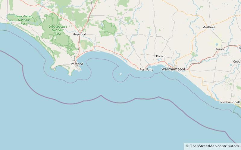
Lady Julia Percy Island, known as Deen Maar or Dhinmar in the Gunditjmara language, lies 8.1 kilometres off the coast, in the Barwon South West region of Victoria, Australia in Bass Strait. The island is an unincorporated area under the direct administration of the government of Victoria. ()
Location
Victoria
ContactAdd
Social media
Add