Lockyer National Park

Map
Facts and practical information
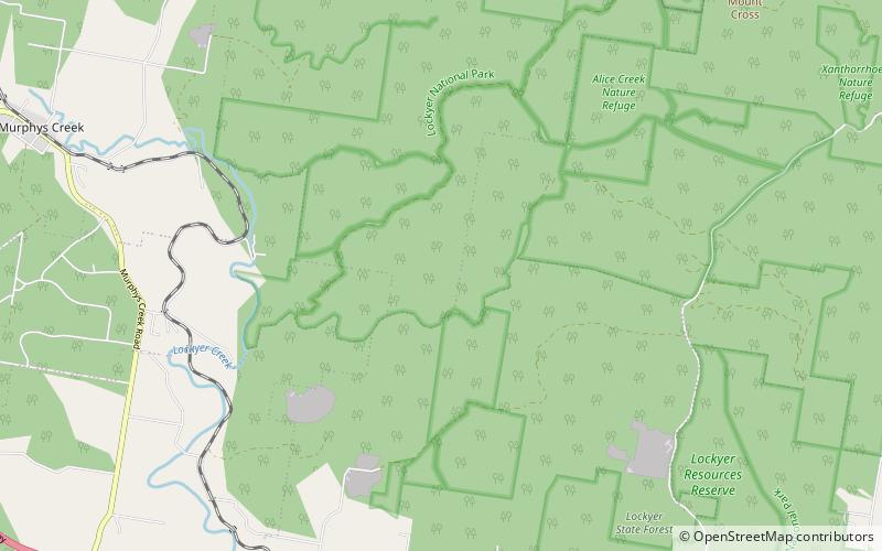
Lockyer National Park is a national park in north of the Lockyer Valley Region in South East Queensland, Australia. The landscape is dominated by the foothills of the Great Dividing Range and features sandstone gorges and eucalypt forest. There are four separate sections which form the Lockyer National Park. Alice Creek, Redbank Creek and Fifteen Mile Creek, all tributaries of Lockyer Creek, lie within the park. The park covers 11,079 ha with another 7,790 ha designated for recovery. ()
Established: 2008 (18 years ago)Area: 1033.59 mi²Elevation: 1220 ft a.s.l.Coordinates: 27°28'58"S, 152°7'16"E
Day trips
Lockyer National Park – popular in the area (distance from the attraction)
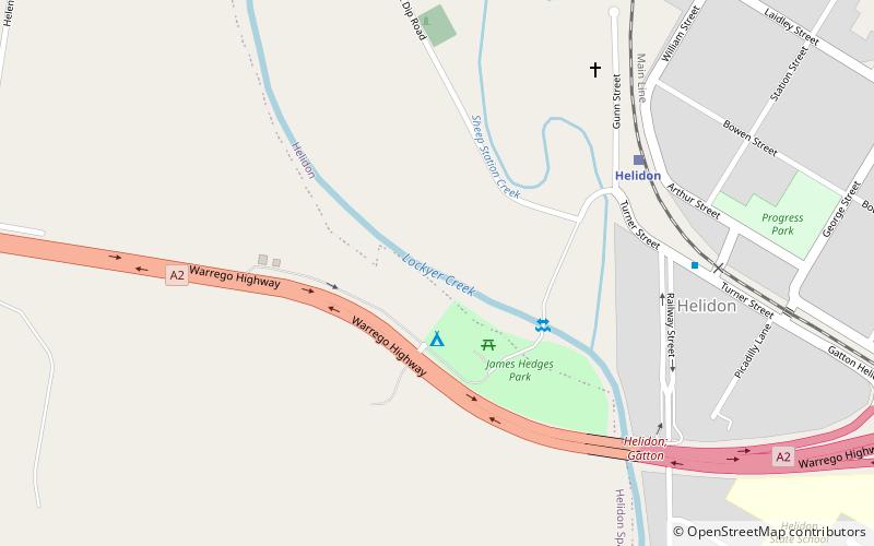
Nearby attractions include: Lockyer Creek Railway Bridge, Helidon.

