Mount Cook National Park
Map

Map

Facts and practical information
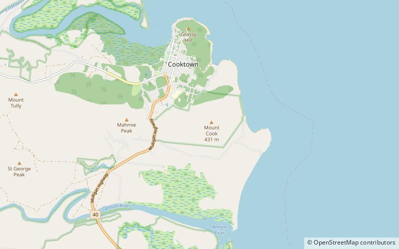
Mount Cook is an Australian national park located in Queensland, 1,554 km northwest of Brisbane. It was established in 1970 and is managed by the Queensland Parks and Wildlife Service. ()
Alternative names: Established: 1970 (56 years ago)Area: 193.82 mi²Elevation: 758 ft a.s.l.Coordinates: 15°29'34"S, 145°15'32"E
Location
Queensland
ContactAdd
Social media
Add
Day trips
Mount Cook National Park – popular in the area (distance from the attraction)
Nearby attractions include: Grassy Hill, James Cook Museum, Cooktown History Centre, Mary Watson's Monument.


