Port Sorell
Map

Map

Facts and practical information
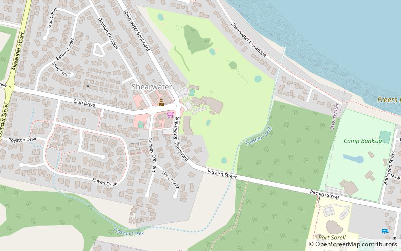
Port Sorell is a town on the north-west coast of Tasmania, Australia. It is on the waterway of the same name, just off Bass Strait, 20 km east of Devonport and close to Shearwater and Hawley Beach. It borders the Rubicon Estuary, which has been identified by BirdLife International as an Important Bird Area because of its importance for waders, especially pied oystercatchers. ()
Location
Tasmania
ContactAdd
Social media
Add
Day trips
Port Sorell – popular in the area (distance from the attraction)
Nearby attractions include: Narawntapu National Park.

