Linton

Gallery (1)
Map
Map
Facts and practical information
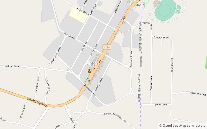
Linton is a town in Victoria, Australia, off Glenelg Highway. Most of the town is located in Golden Plains Shire; however, a small section is in the Shire of Pyrenees. At the 2016 census, Linton and the surrounding area had a population of 580. The Clarkesdale Bird Sanctuary lies to the south-east of the township, near Springdallah Creek. ()
Population: ~570 pplCoordinates: 37°41'13"S, 143°33'47"E
Location
Victoria
ContactAdd
Social media
Add
Day trips
Linton – popular in the area (distance from the attraction)
Nearby attractions include: Clarkesdale Bird Sanctuary.
