Liverpool, Sydney
Map
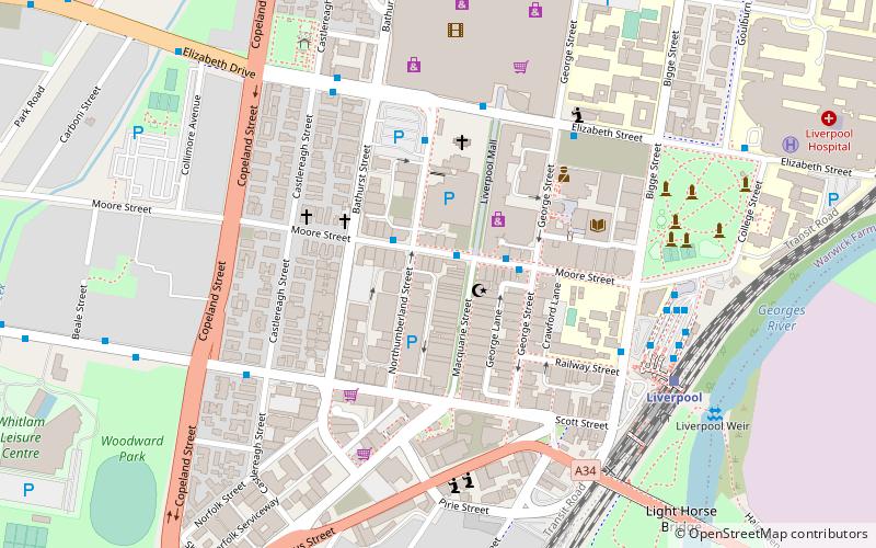
Map

Facts and practical information
Liverpool is a suburb of Greater Western Sydney, in the state of New South Wales, Australia. It is located 27 kilometres south-west of the Sydney CBD. Liverpool is the administrative seat of the local government area of the City of Liverpool and is situated in the Cumberland Plain. ()
Address
LiverpoolSydney
ContactAdd
Social media
Add
Day trips
Liverpool – popular in the area (distance from the attraction)
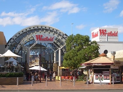
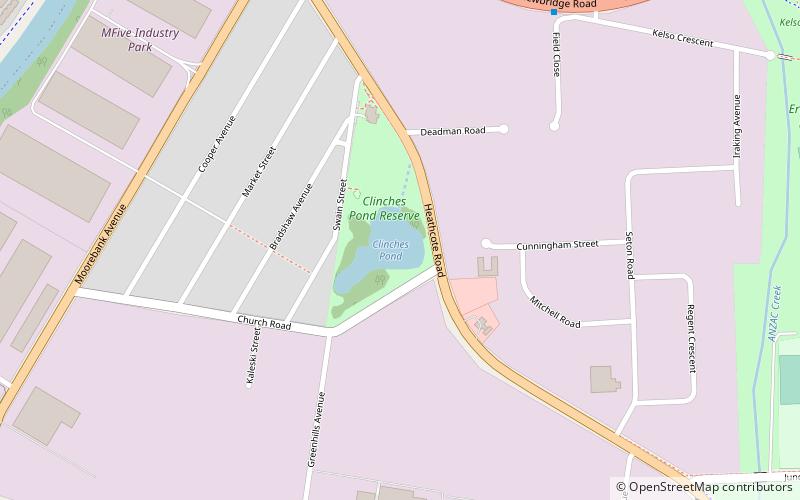
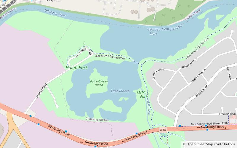
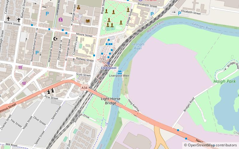
Nearby attractions include: Westfield Liverpool, Clinches Pond, Lake Moore, Liverpool Weir.
Frequently Asked Questions (FAQ)
How to get to Liverpool by public transport?
The nearest stations to Liverpool:
Bus
Train
Bus
- Macquarie T-Way • Lines: T80 (2 min walk)
- Bigge St opp Liverpool Station • Lines: M90 (6 min walk)
Train
- Liverpool (8 min walk)
- Warwick Farm (25 min walk)

 Sydney Trains
 Sydney Light Rail
 Sydney Ferries