Louisa Island, South West National Park

Gallery (2)
Map
Map
Gallery
Facts and practical information
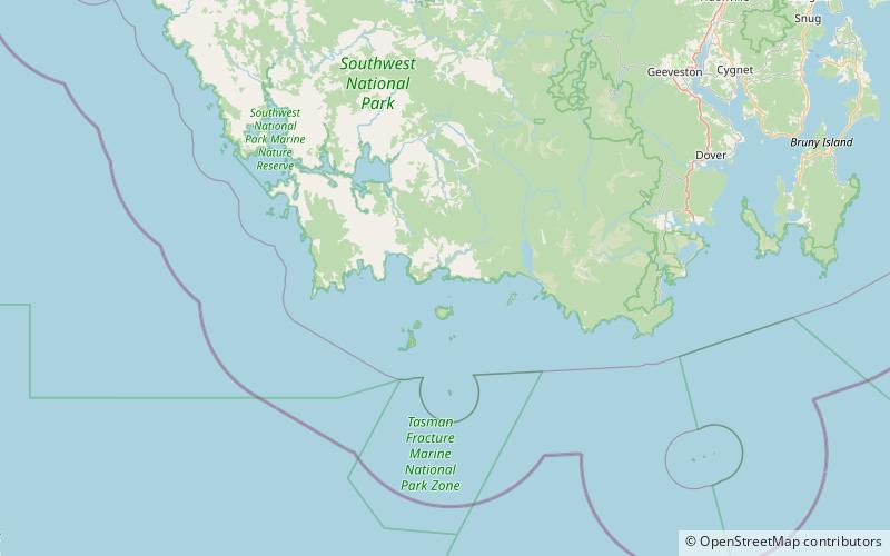
Louisa Island is an island with a short sandy tombolo, located adjacent to the south-western coast of Tasmania, Australia. The irregularly shaped 23-hectare island is part of the Maatsuyker Islands Group, and comprises part of the Southwest National Park and the Tasmanian Wilderness World Heritage Site. ()
Alternative names: Area: 56.83 acres (0.0888 mi²)Maximum elevation: 262 ftCoordinates: 43°32'5"S, 146°21'32"E
Address
South West National Park
ContactAdd
Social media
Add
Day trips
Louisa Island – popular in the area (distance from the attraction)
Nearby attractions include: De Witt Island.
