Tuross Head

Gallery (2)
Map
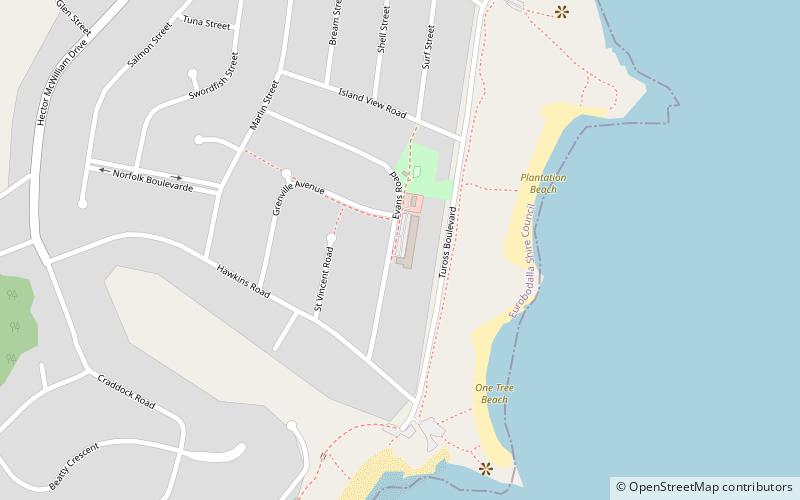
Map
Gallery
Facts and practical information
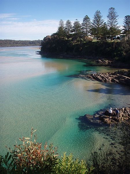
Tuross Head is a seaside village on the south coast of New South Wales, Australia. It is approximately halfway between the townships of Moruya and Narooma, a few kilometres off the Princes Highway. As of the 2016 census, Tuross Head has a population of 2,241 people. ()
Population: 2.2 thous.Coordinates: 36°3'35"S, 150°8'20"E
Location
New South Wales
ContactAdd
Social media
Add
Day trips


