Wallacia, Sydney

Map
Facts and practical information
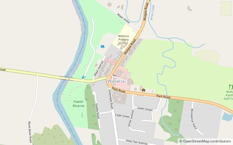
Wallacia is a suburb of Sydney, in the state of New South Wales, Australia. Formerly a rural village it is 68 kilometres west of the Sydney GPO, in the local government areas of the City of Penrith, City of Liverpool and Wollondilly Shire. It is part of the Greater Western Sydney region, Metropolitan area. ()
Coordinates: 33°51'53"S, 150°38'28"E
Address
Sydney
ContactAdd
Social media
Add
Day trips
Wallacia – popular in the area (distance from the attraction)
Nearby attractions include: Warragamba Dam, Nepean Gorge, St Thomas' Anglican Church, Bents Basin State Conservation Area.
 Sydney Trains
 Sydney Light Rail
 Sydney Ferries


