Wisemans Ferry, Sydney
Map

Map

Facts and practical information
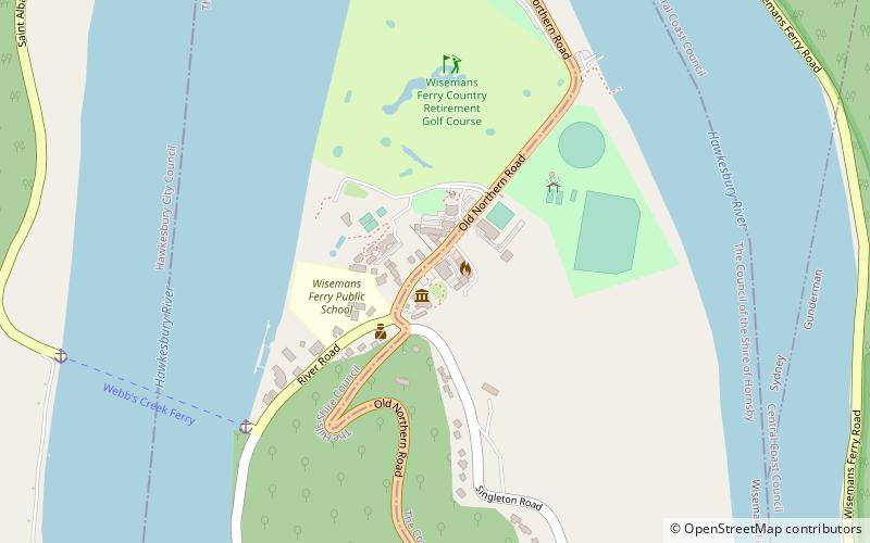
Wisemans Ferry is a town in the state of New South Wales, Australia, located 75 kilometres north north-west of the Sydney central business district in the local government areas of Hornsby Shire, The Hills Shire, City of Hawkesbury and Central Coast Council. The town is a tourist spot with picnic and barbecue facilities. As well as a rich convict and colonial heritage in the area, the Dharug National Park and Yengo National Park are close by. ()
Coordinates: 33°23'7"S, 150°59'10"E
Address
Baulkham Hills (Wisemans Ferry)Sydney
ContactAdd
Social media
Add
Day trips
Wisemans Ferry – popular in the area (distance from the attraction)
Nearby attractions include: Great North Road, Old Great North Road, Australian Convict Sites, Tobruk Sheep Station.
Frequently Asked Questions (FAQ)
Which popular attractions are close to Wisemans Ferry?
Nearby attractions include Australian Convict Sites, Sydney (18 min walk), Great North Road, Dharug National Park (18 min walk).

 Sydney Trains
 Sydney Light Rail
 Sydney Ferries


