Wyrrabalong National Park

Facts and practical information
The Wyrrabalong National Park is a coastal national park that is located on the Central Coast of New South Wales, in eastern Australia. The 620-hectare national park consists of two sections; the northern section consists of approximately 480 hectares and covers a substantial area of the peninsula between The Entrance and Norah Head as well as Terilbah and Pelican Islands within Tuggerah Lake. The southern section consists of about 120 hectares of the coast, from Shelly Beach south to Forresters Beach. The park is also noted for containing the last significant coastal rainforest on the Central Coast. ()
Wyrrabalong National Park – popular in the area (distance from the attraction)
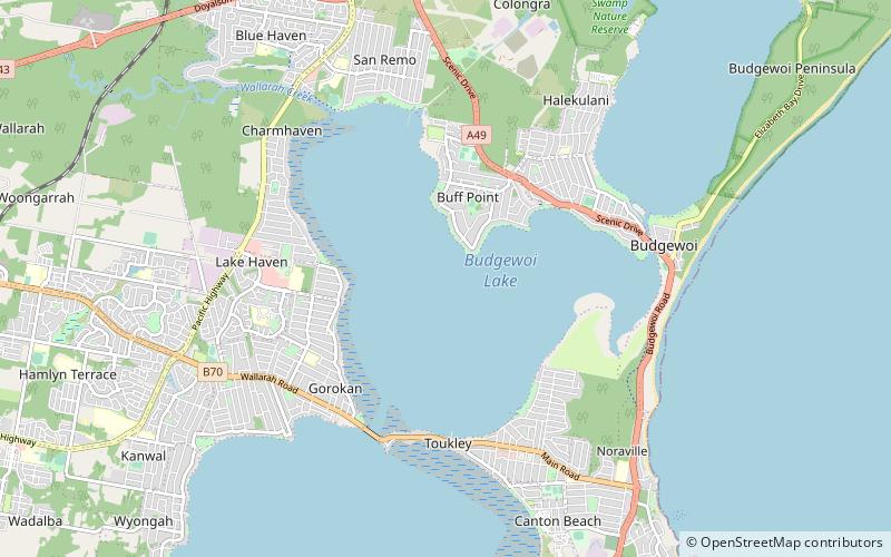
Nearby attractions include: Norah Head Light, Norah Head Lightstation Precinct, Tuggerah Lake, Budgewoi Lake.


