Angourie Point

Map
Facts and practical information
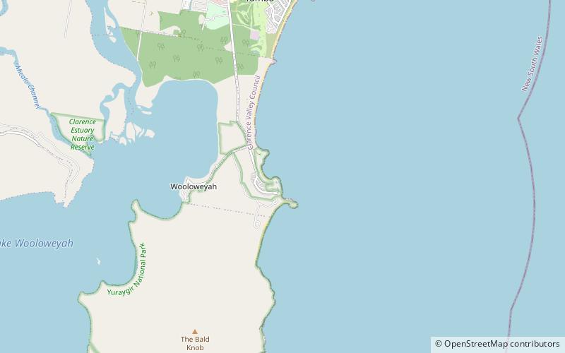
Angourie Point is a surf break in the small township of Yamba on the north coast of New South Wales, Australia. Angourie Point is an exposed point break that has consistent surf, and surf offshore winds are from the southwest. Groundswells and wind swells are good and the best swell direction is from the east or south east. ()
Coordinates: 29°28'40"S, 153°21'54"E
Location
New South Wales
ContactAdd
Social media
Add
Day trips
Angourie Point – popular in the area (distance from the attraction)
Nearby attractions include: Clarence River Light, Pippi Beach Penthouse #Bindaree no 9, Iluka Nature Reserve, Iluka.


