Beatrice Islet Conservation Park

Map
Facts and practical information
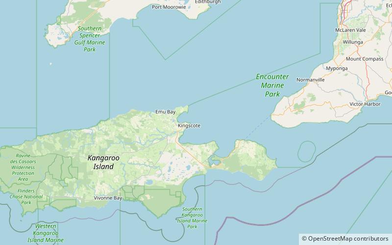
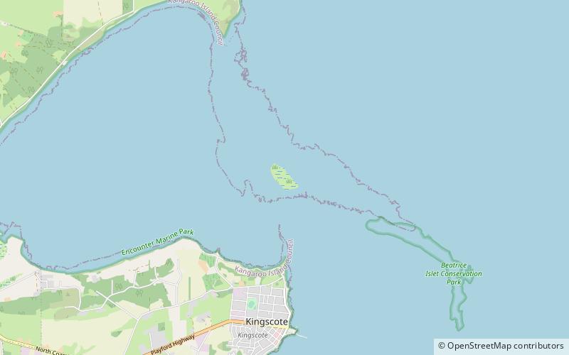
Beatrice Islet Conservation Park is a protected area occupying the Beatrice Islets and adjoining intertidal areas in Nepean Bay on Kangaroo Island, South Australia. It is located about 4 kilometres east of the town of Kingscote. ()
Established: 16 March 1967 (58 years ago)Coordinates: 35°38'25"S, 137°40'34"E
Location
South Australia
ContactAdd
Social media
Add
Day trips
Beatrice Islet Conservation Park – popular in the area (distance from the attraction)
Nearby attractions include: Fine Art Kangaroo Island, Cygnet Estuary Conservation Park, Busby Islet Conservation Park, Busby Islet.


