Central Hall, Melbourne
Map
Map

Facts and practical information
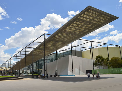
Central Hall is a building that stands at the end of Brunswick Street in Fitzroy, Melbourne, Australia. This structure today serves as a centrepiece of Australian Catholic University's St. Patrick's Campus. It once held a similar role within Melbourne's Roman Catholic community, from the time the hall and adjoining clubrooms were opened in 1904. ()
Coordinates: 37°48'25"S, 144°58'37"E
Address
City of Yarra (Fitzroy)Melbourne
ContactAdd
Social media
Add
Day trips
Central Hall – popular in the area (distance from the attraction)
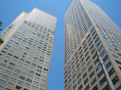
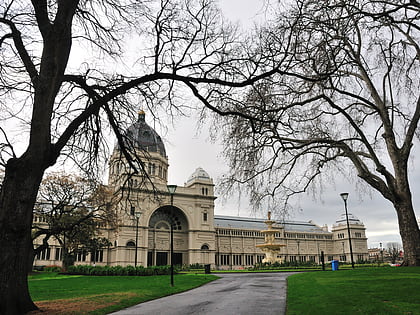
Nearby attractions include: Melbourne Museum, Collins Place, Royal Exhibition Building, Carlton Gardens.
Frequently Asked Questions (FAQ)
Which popular attractions are close to Central Hall?
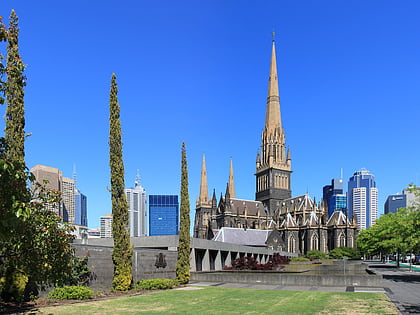
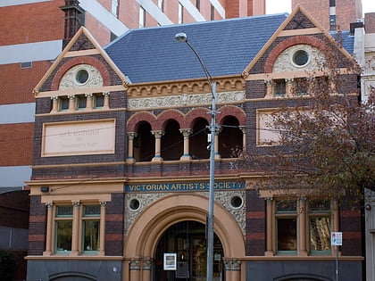
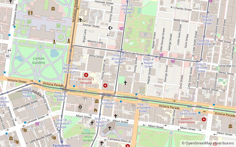
Nearby attractions include T. F. Much Ballroom, Melbourne (1 min walk), Gertrude Street, Melbourne (3 min walk), Eastern Hill Fire Station, Melbourne (4 min walk), Victorian Artists Society, Melbourne (5 min walk).
How to get to Central Hall by public transport?
The nearest stations to Central Hall:
Tram
Bus
Train
Tram
- Stop 13: Gertrude Street • Lines: 11 (3 min walk)
- Stop 13: Brunswick Street • Lines: 86, 86d (3 min walk)
Bus
- Australian Catholic University/Victoria Parade • Lines: 303, 350 (3 min walk)
- Eye & Ear Hospital/Victoria Parade • Lines: 303, 350 (3 min walk)
Train
- Parliament (9 min walk)
- Jolimont (20 min walk)

 Melbourne Trams
 Victoria Trains
