Elizabeth River Bridge

Gallery (1)
Map
Map
Facts and practical information
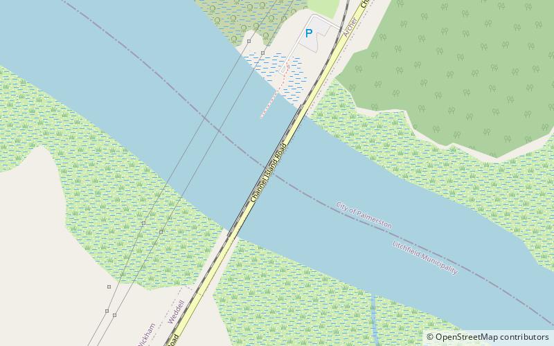
The Elizabeth River Bridge is a road bridge which crosses Elizabeth River about 17 kilometres south of the Darwin city centre, in the Northern Territory of Australia. ()
Length: 1640 ftCoordinates: 12°32'29"S, 130°58'37"E
Location
Northern Territory
ContactAdd
Social media
Add
Day trips


