Mount William National Park
Map
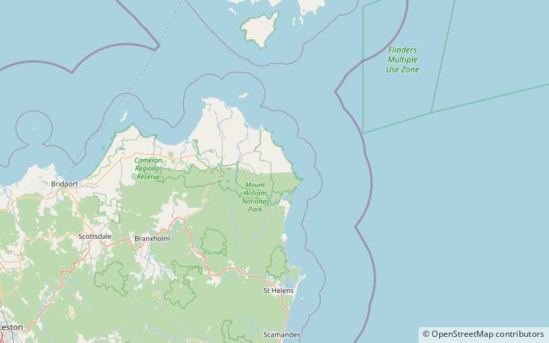
Map

Facts and practical information
Mount William is a national park, mountain, and locality in Tasmania, 234 km northeast of Hobart. Established in 1973 as an 8,640 hectares large national park, it has been expanded multiple times, reaching 13,806 ha in 1980 and 18,439 ha in 1999. The park is named after a hill that is 216m above sea level. In 2016, the official name of the mountain was changed to wukalina / Mount William. ()
Best Ways to Experience the Park
Wildlife
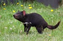
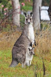
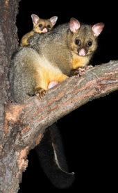
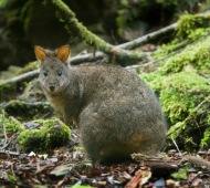
AnimalsSee what popular animal species you can meet in this location.
More

