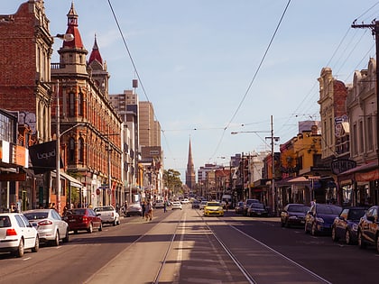
Little Italy, Melbourne
Map
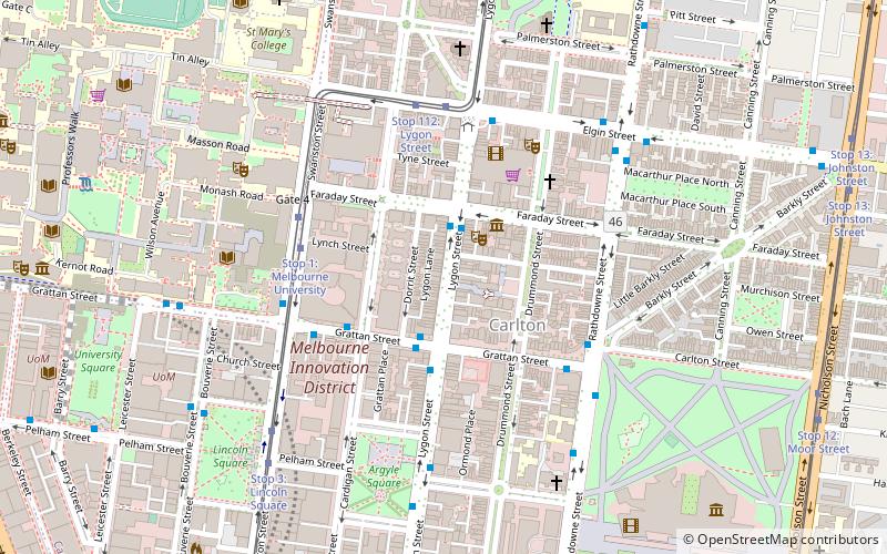
Map

Facts and practical information
Coordinates: 37°47'59"S, 144°58'1"E
Address
City of Melbourne (Carlton)Melbourne
ContactAdd
Social media
Add
Day trips
Little Italy – popular in the area (distance from the attraction)
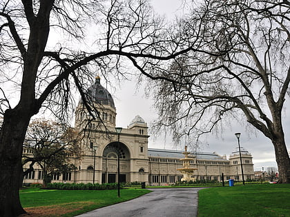
Nearby attractions include: Melbourne Museum, Brunswick Street, Royal Exhibition Building, Carlton Gardens.
Frequently Asked Questions (FAQ)
Which popular attractions are close to Little Italy?
Nearby attractions include Melbourne/Inner north, Melbourne (1 min walk), Asia Education Foundation, Melbourne (5 min walk), Frank Tate, Melbourne (6 min walk), Graduate House, Melbourne (6 min walk).
How to get to Little Italy by public transport?
The nearest stations to Little Italy:
Bus
Tram
Train
Bus
- Faraday Street/Lygon Street • Lines: 200, 207 (2 min walk)
- Lygon Street/Grattan Street • Lines: 402 (2 min walk)
Tram
- Stop 1: Melbourne University • Lines: 1, 16, 16d, 3, 3a, 5, 6, 64, 64d, 67, 67d, 6d, 72 (5 min walk)
- Stop 112: Lygon Street • Lines: 1, 6, 6d (5 min walk)
Train
- Melbourne Central (20 min walk)
- Parliament (22 min walk)

 Melbourne Trams
 Victoria Trains
