Macleay Valley Bridge

Map
Facts and practical information
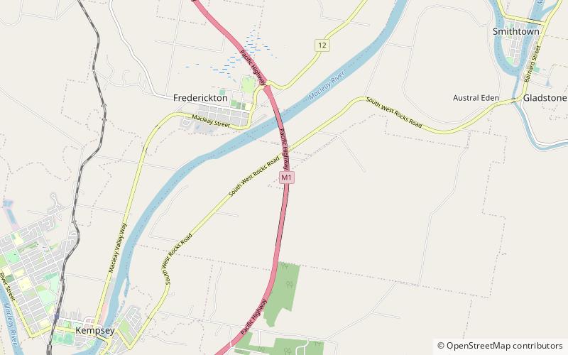
The Macleay Valley Bridge is a road bridge over the Macleay River and its floodplain near the settlement of Frederickton, New South Wales, Australia. The bridge is part of the Pacific Highway new alignment which bypasses Kempsey and Frederickton. At the time of its official opening in 2013, the bridge was the longest road bridge in Australia. ()
Opened: 27 March 2013 (12 years ago)Length: 1.99 miWidth: 71 ftCoordinates: 31°2'54"S, 152°53'17"E
Location
New South Wales
ContactAdd
Social media
Add
Day trips
Macleay Valley Bridge – popular in the area (distance from the attraction)
Nearby attractions include: St Andrew's Presbyterian Church and Hall, Macleay River railway bridge, Dunghutti-Ngaku Aboriginal Art Gallery.


