Nicolas Baudin Island Conservation Park
Map

Map

Facts and practical information
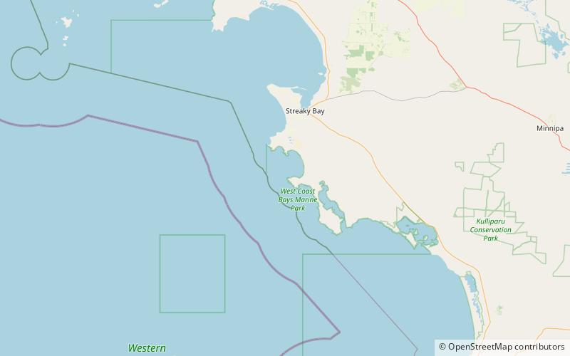
Nicolas Baudin Island Conservation Park is a protected area associated with Nicolas Baudin Island which is located off Cape Blanche on the west coast of Eyre Peninsula in South Australia about 30 kilometres south of Streaky Bay. The conservation park was proclaimed in 2003 under the National Parks and Wildlife Act 1972 to ‘protect a significant breeding location for the Australian sea lion.’ ()
Established: 16 January 2003 (23 years ago)Elevation: 10 ft a.s.l.Coordinates: 33°0'58"S, 134°7'52"E
Location
South Australia
ContactAdd
Social media
Add
Day trips
Nicolas Baudin Island Conservation Park – popular in the area (distance from the attraction)
Nearby attractions include: Seagull Lake, Cape Blanche Conservation Park.


