National Theatre, Melbourne
Map

Map

Facts and practical information
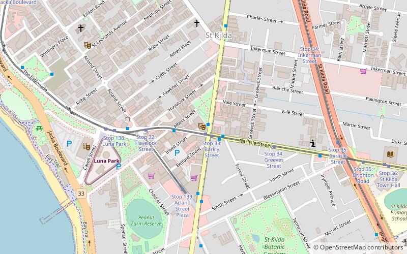
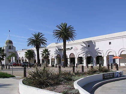
The National Theatre is a 783-seat Australian theatre and theatrical arts school located in the Melbourne bayside suburb of St Kilda, on the corner of Barkly and Carlisle Streets. The building was constructed in 1921 as The Victory Theatre, rebuilt as 2550 seat cinema in 1928, finally converted to a live venue 1972/4 with 783 seats. ()
Opened: 1921 (105 years ago)Capacity: 783Coordinates: 37°52'1"S, 144°58'52"E
Day trips
National Theatre – popular in the area (distance from the attraction)
Nearby attractions include: Luna Park, St Kilda Sea Baths, Rippon Lea Estate, Palais Theatre.
Frequently Asked Questions (FAQ)
Which popular attractions are close to National Theatre?
Nearby attractions include Acland Street, Melbourne (7 min walk), Sacred Heart Church St Kilda, Melbourne (7 min walk), Palais Theatre, Melbourne (8 min walk), Melbourne/St Kilda, Melbourne (8 min walk).
How to get to National Theatre by public transport?
The nearest stations to National Theatre:
Bus
Tram
Train
Bus
- National Theatre • Lines: 246, 600, 922, 923 (1 min walk)
- Barkly Street • Lines: 623 (2 min walk)
Tram
- Stop 33: Barkly Street • Lines: 16, 16d, 3a (1 min walk)
- Stop 32: Havelock Street • Lines: 16, 3a (4 min walk)
Train
- Balaclava (19 min walk)
- Windsor (25 min walk)

 Melbourne Trams
 Victoria Trains


