Paddys Ranges State Park
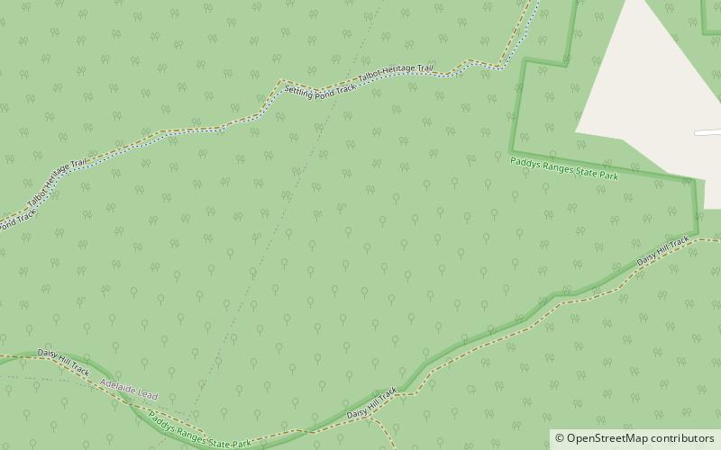
Map

Map

Facts and practical information
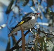
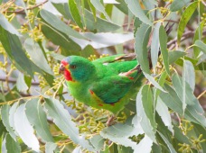
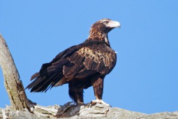
Paddys Ranges State Park, near Maryborough, 170 kilometres northwest of Melbourne, Australia comprises 2,010 hectares of native vegetation. Gold mining and eucalyptus oil production within the park date back to the 1840s but have long been closed down. The vegetation is primarily of box-ironbark forest, with prominent golden wattle and native orchids. Swift parrots, painted honeyeaters, wedge-tailed eagles and crested bellbirds are all present. ()
Established: 1989 (37 years ago)Elevation: 899 ft a.s.l.Coordinates: 37°6'44"S, 143°41'35"E
Best Ways to Experience the Park
Wildlife
AnimalsSee what popular animal species you can meet in this location.
More
Day trips
Paddys Ranges State Park – popular in the area (distance from the attraction)
Nearby attractions include: Maryborough Post Office, Talbot.


