Pambula

Gallery (1)
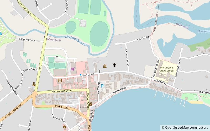
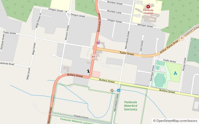
Map
Map
Facts and practical information
Pambula is a town in Bega Valley Shire on the far south coast of New South Wales, Australia 454 kilometres south of Sydney via the Princes Highway. At the 2016 census, Pambula had a population of 970 people. ()
Location
New South Wales
ContactAdd
Social media
Add
Day trips