Penguin Island Conservation Park
Map

Map

Facts and practical information
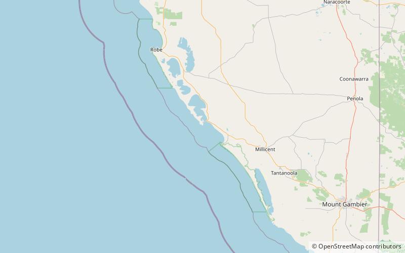
Penguin Island Conservation Park is a protected area occupying Penguin Island and part of Cape Martin on the mainland in Rivoli Bay on the south east coast of South Australia about 1 kilometre south of Beachport. ()
Established: 1 August 1963 (62 years ago)Elevation: 10 ft a.s.l.Coordinates: 37°29'48"S, 140°0'43"E
Location
South Australia
ContactAdd
Social media
Add
Day trips
Penguin Island Conservation Park – popular in the area (distance from the attraction)
Nearby attractions include: Cape Martin Lighthouse, Penguin Island.


