Popran National Park
Map

Map

Facts and practical information
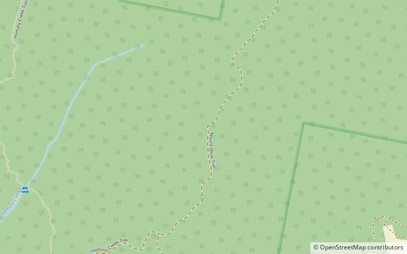
The Popran National Park is a protected national park that is located west of the M1 Pacific Motorway in the Central Coast region of New South Wales, in eastern Australia. The 3,970-hectare park is situated 56 kilometres north of Sydney. The Park takes its name from Popran Creek which rises in the locality of Central Mangrove and then flows for approximately 24 km in a mostly southern direction till it reaches Mangrove Creek. Popran Creek flows through the Glenworth Valley, also known as the Popran Valley. The average elevation of the terrain is 135 meters. ()
Day trips
Popran National Park – popular in the area (distance from the attraction)
Nearby attractions include: Mooney Mooney Bridge.

