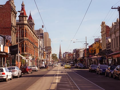
Nicholson Street, Melbourne
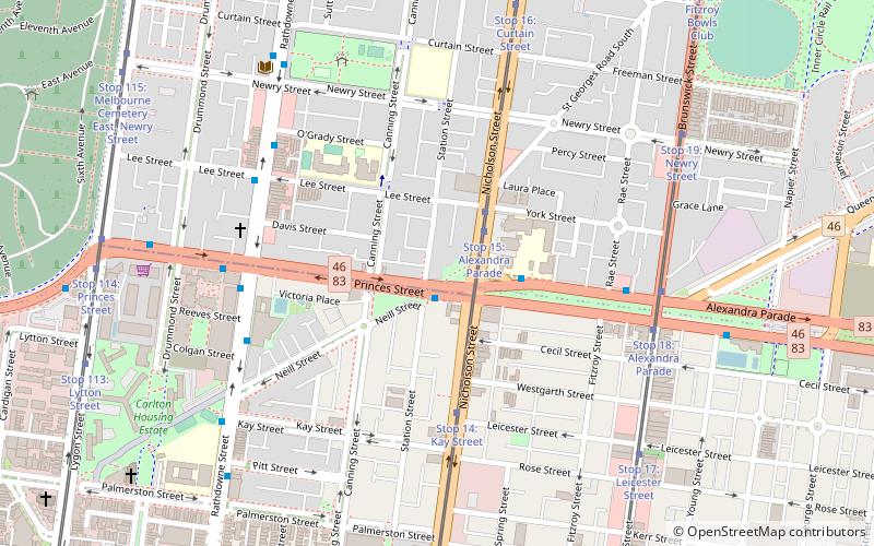
Map
Gallery
Facts and practical information
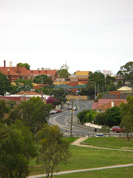
Nicholson Street is a street in inner Melbourne. It is named after William Nicholson, then member of the Legislative Council, and later Premier of Victoria from 1859 to 1860. ()
Elevation: 108 ft a.s.l.Coordinates: 37°47'34"S, 144°58'30"E
Address
City of Yarra (Carlton North)Melbourne
ContactAdd
Social media
Add
Day trips
Nicholson Street – popular in the area (distance from the attraction)
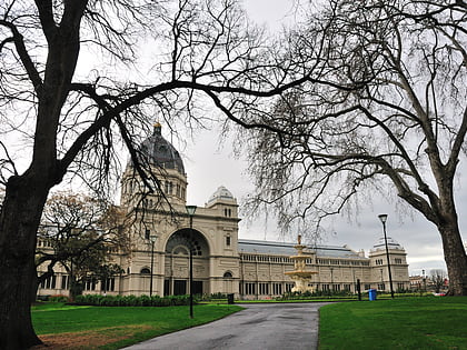
Nearby attractions include: Melbourne Museum, Brunswick Street, Smith Street Bazaar, Carlton Gardens.
Frequently Asked Questions (FAQ)
Which popular attractions are close to Nicholson Street?
Nearby attractions include The Rose St. Artists' Market, Melbourne (7 min walk), Melbourne/Inner east, Melbourne (9 min walk), Church of All Nations, Melbourne (10 min walk), Brunswick Street, Melbourne (11 min walk).
How to get to Nicholson Street by public transport?
The nearest stations to Nicholson Street:
Bus
Tram
Train
Bus
- Nicholson Street/Princes Street • Lines: 546 (1 min walk)
- Brunswick Street/Alexandra Parade • Lines: 546 (6 min walk)
Tram
- Stop 15: Alexandra Parade • Lines: 96, 96d (2 min walk)
- Stop 15: Princes Street • Lines: 96 (3 min walk)
Train
- Clifton Hill (30 min walk)
- Rushall (30 min walk)

 Melbourne Trams
 Victoria Trains
