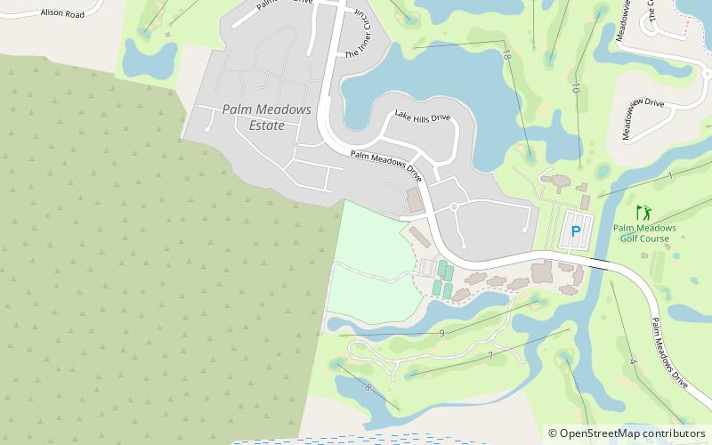
Palm Meadows, Gold Coast
Map
Facts and practical information
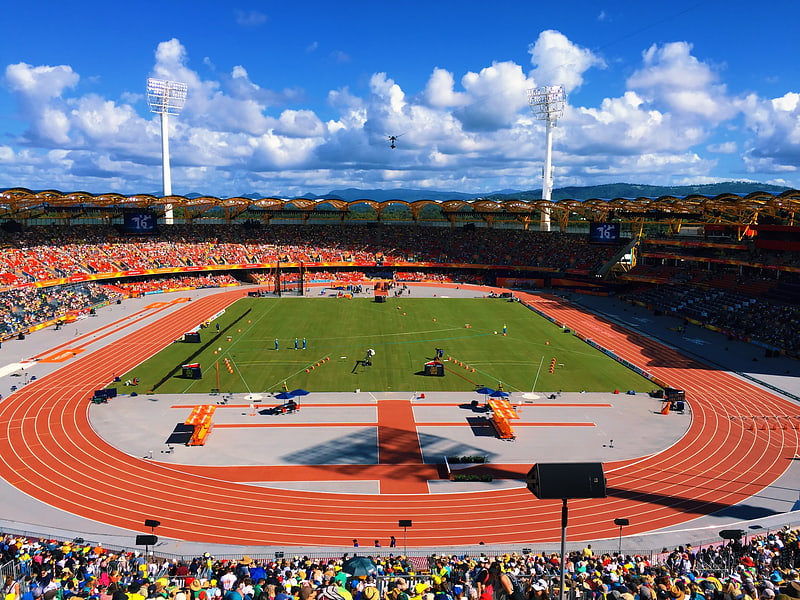
Palm Meadows International Baseball Facility is an Australian baseball field located on the Gold Coast, Queensland. It is owned by Hungtat Worldwide Pty Ltd and is leased through Gold Coast city council. It is currently home to the Major League Baseball Australian Academy Program. ()
Capacity: 2500Coordinates: 28°1'43"S, 153°22'23"E
Address
CarraraGold Coast
ContactAdd
Social media
Add
Getting there by public transportation
Public transportation stops near this location
- Bus
 Bus
Bus
- Calculate routeGooding Dr at Merrimac Primary School 24 min walk
- Calculate routeGooding Dr at Merrimac Golf Course 30 min walk
- Calculate routeMichelmore Rd near Alison Rd 31 min walk
Day trips


Frequently Asked Questions (FAQ)
How to get to Palm Meadows by public transport?
The nearest stations to Palm Meadows:
Bus
Bus
- Gooding Dr at Merrimac Primary School • Lines: 755 (24 min walk)
- Gooding Dr at Merrimac Golf Course • Lines: 743, 755 (30 min walk)