Port Gawler Conservation Park

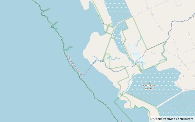
Map
Facts and practical information
Port Gawler Conservation Park was a protected area in the Australian state of South Australian located at the east side of Gulf St Vincent on the west side of the locality of Port Gawler. The conservation park covered an area of intertidal mangroves immediately south of Port Gawler beach. ()
Established: 11 February 1971 (55 years ago)Coordinates: 34°40'12"S, 138°26'24"E
Location
South Australia
ContactAdd
Social media
Add
Day trips
Port Gawler Conservation Park – popular in the area (distance from the attraction)
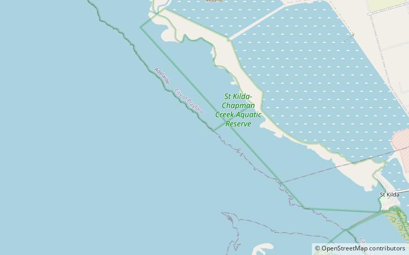
Nearby attractions include: Adelaide International Bird Sanctuary National Park—Winaityinaityi Pangkara, St Kilda – Chapman Creek Aquatic Reserve.

