Smith Street, Darwin
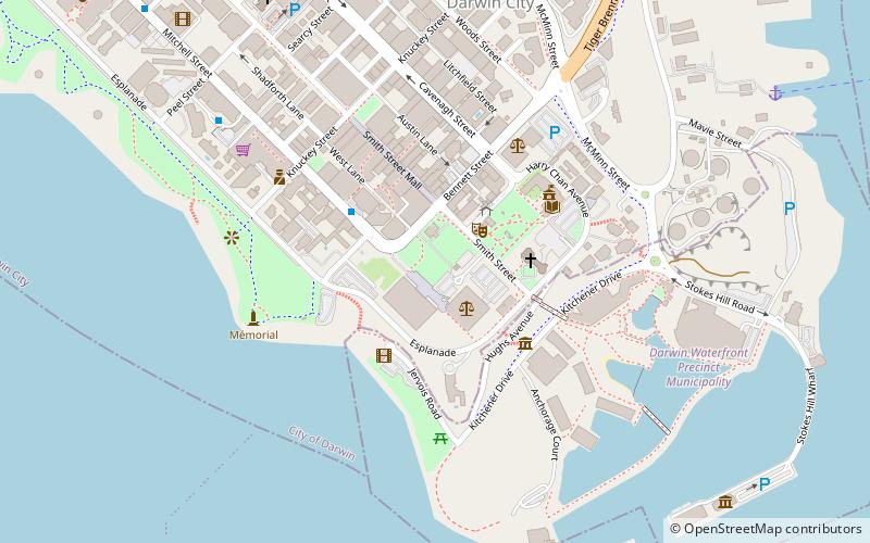
Map
Gallery
Facts and practical information
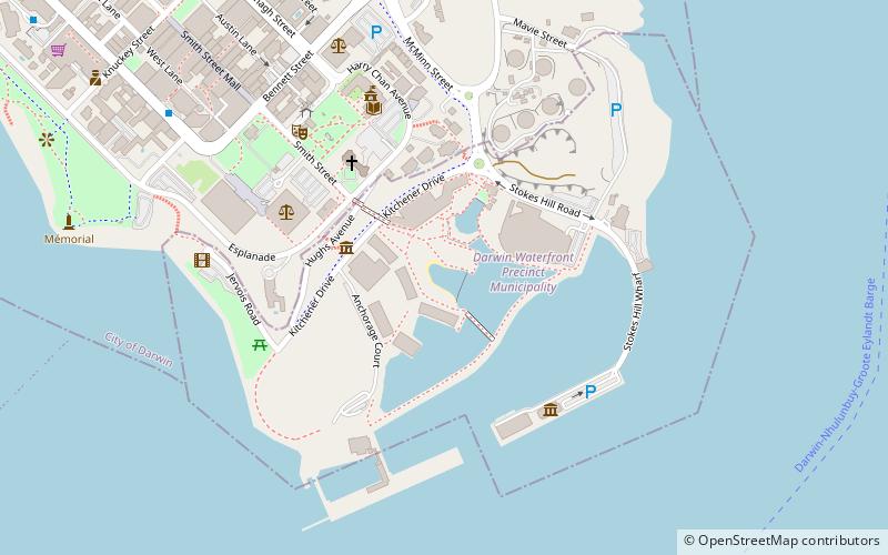
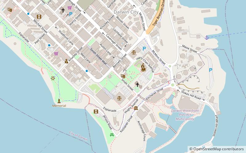
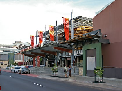
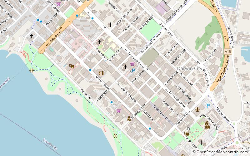
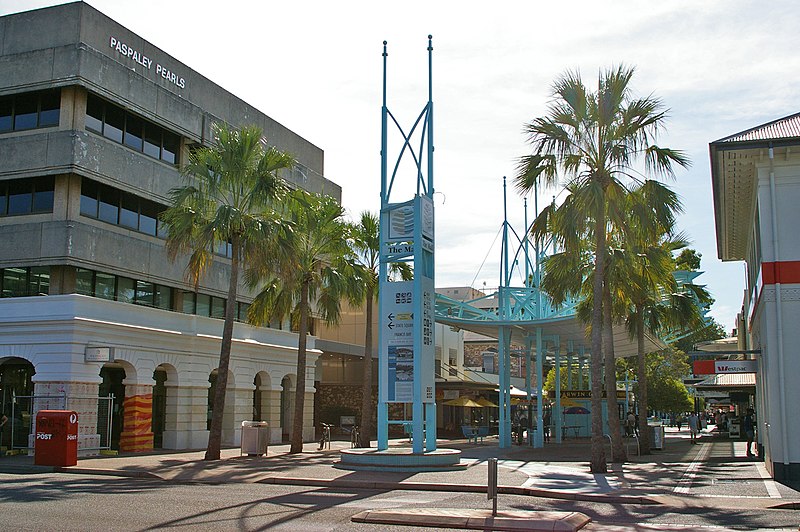
Smith Street is a major street in the Darwin Central Business district of Darwin, Northern Territory, Australia. Smith Street is named after A. H. Smith who was the first surveyor in charge of party number 3 of George Goyder in 1869. Smith Street runs 4.5 kilometres in a north-west to south-east direction on the western side of the Darwin CBD. The street intersects with Daly Street, Knuckey Street and terminates with The Esplanade. ()
Coordinates: 12°27'41"S, 130°50'24"E
Address
Darwin
ContactAdd
Social media
Add
Day trips
Smith Street – popular in the area (distance from the attraction)
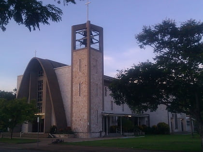
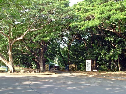
Nearby attractions include: Darwin Waterfront Precinct, St Mary's Star of the Sea Cathedral, George Brown Darwin Botanic Gardens, Brown's Mart.
Frequently Asked Questions (FAQ)
Which popular attractions are close to Smith Street?
Nearby attractions include Crocosaurus Cove, Darwin (3 min walk), Darwin central business district, Darwin (4 min walk), Bicentennial Park, Darwin (6 min walk), Outrigger Pandanas, Darwin (6 min walk).
How to get to Smith Street by public transport?
The nearest stations to Smith Street:
Bus
Bus
- Darwin Bus Interchange (10 min walk)

