Teewah Beach
Map

Map

Facts and practical information
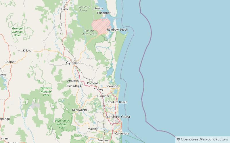
Teewah Beach is a beach that extends from Double Island Point in Cooloola, Gympie Region through Noosa North Shore in the Shire of Noosa to the Noosa River in Queensland, Australia. It is part of the Great Sandy National Park. The beach extends from approximately 25°56'11"S, 153°11'18"E to 26°22'44"S, 153°04'38"E, a distance of about 51 kilometres. ()
Coordinates: 26°16'0"S, 153°4'1"E
Location
Queensland
ContactAdd
Social media
Add
Day trips
Teewah Beach – popular in the area (distance from the attraction)
Nearby attractions include: Lake Cootharaba, Mill Point Settlement Site.


