King Valley
Map

Map

Facts and practical information
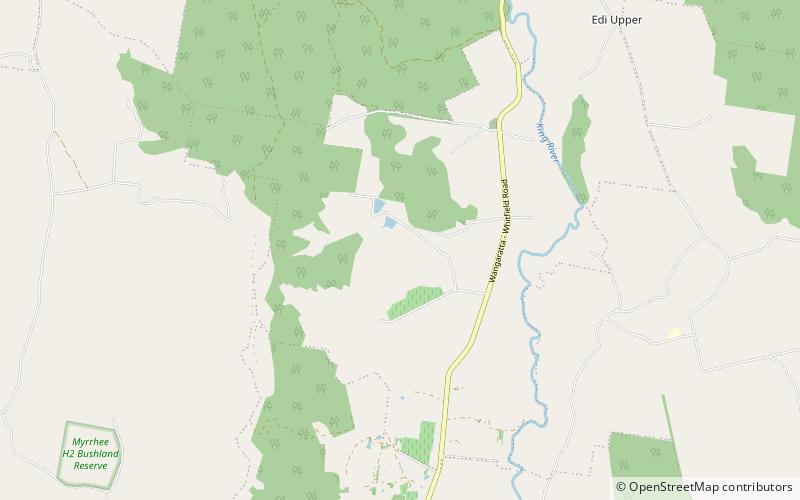
The King Valley, or King River Valley is a wine-producing and agricultural region centred on the King River between Wangaratta and the Alpine National Park in the North East Victoria zone of the Australian state of Victoria. There are a number of small towns within the region including Cheshunt, Whitfield, King Valley, Edi, Claremont, Moyhu, Byrne, Docker and Oxley. King Valley was recorded as an Australian Geographical Indication protected name on 12 October 2007. ()
Population: ~100 pplCoordinates: 36°41'41"S, 146°24'7"E
Location
Victoria
ContactAdd
Social media
Add
