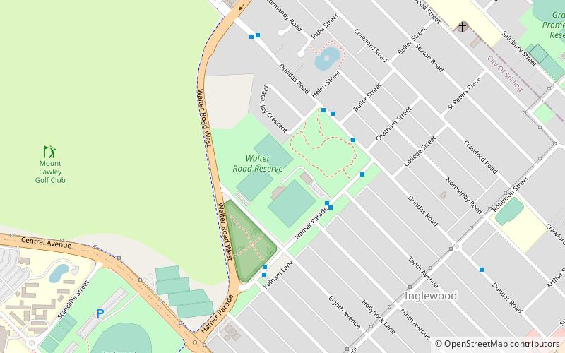
Inglewood Stadium, Perth
Map
Facts and practical information
Inglewood Stadium, also known as Walter Road Reserve, is a sporting facility in Inglewood, Western Australia, currently used for soccer. ()
Capacity: 6000Coordinates: 31°54'57"S, 115°52'44"E
Address
InglewoodPerth
ContactAdd
Social media
Add
Getting there by public transportation
Public transportation stops near this location
- Bus
- Train
 Bus
Bus
- Calculate routeHamer Parade before Tenth Avenue 3 min walk
- Calculate routeDundas Road after Hamer Parade 4 min walk
- Calculate routeMaylands 30 min walk
Day trips


Frequently Asked Questions (FAQ)
Which popular attractions are close to Inglewood Stadium?
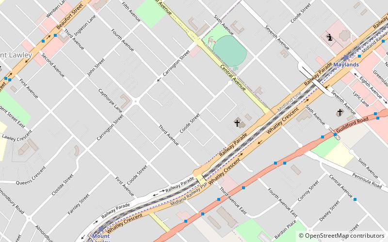
Nearby attractions include Inglewood Post Office, Perth (14 min walk), Perth Australia Temple, Perth (21 min walk), Perth Hebrew Congregation, Perth (22 min walk), We love Margaret Reserve, Perth (24 min walk).
How to get to Inglewood Stadium by public transport?
The nearest stations to Inglewood Stadium:
Bus
Train
Bus
- Hamer Parade before Tenth Avenue • Lines: 60 (3 min walk)
- Dundas Road after Hamer Parade • Lines: 60 (4 min walk)
Train
- Maylands (30 min walk)