Schouten Island

Gallery (1)
Map
Map
Facts and practical information
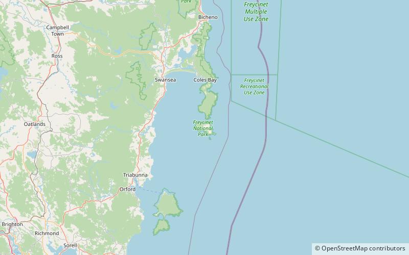
Schouten Island, part of the Schouten Island Group, is an island with an area of approximately 28 square kilometres lying close to the eastern coast of Tasmania, Australia, located 1.6 kilometres south of the Freycinet Peninsula and is a part of Freycinet National Park. The Paredarerme name for the island is Tiggana marraboona. ()
Alternative names: Area: 10.81 mi²Maximum elevation: 1312 ftArchipelago: Schouten Island GroupCoordinates: 42°19'0"S, 148°17'6"E
Location
Tasmania
ContactAdd
Social media
Add