Lake Narracan
Map

Map

Facts and practical information
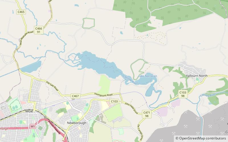
Lake Narracan is an artificial lake on the Latrobe River built to supply cooling water for the nearby brown coal-fired power stations. ()
Opened: 1961 (65 years ago)Area: 1.08 mi²Length: 358 ftHeight: 75 ftReservoir area: 1.08 mi²Elevation: 151 ft a.s.l.Coordinates: 38°9'31"S, 146°18'47"E
Location
South Shore RoadVictoria
ContactAdd
Social media
Add
Day trips
Lake Narracan – popular in the area (distance from the attraction)
Nearby attractions include: Latrobe Regional Gallery, Morwell Centenary Rose Garden, Moe.


