Mount Doongul
Map

Map

Facts and practical information
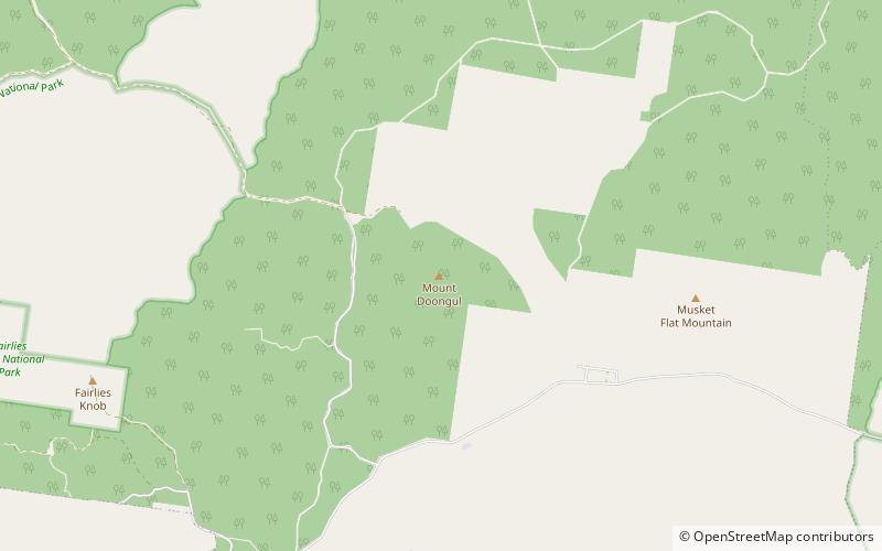
Mount Doongul is a mountain in Queensland state forest north of Maryborough, Australia. The mountain, although not particularly high, is said to offer views to Fraser Island off the southern Queensland coast and north to the town of Childers. Mount Doongul can be reached via the Maryborough-Biggenden Road and then by taking the North Aramara turn-off and following unsealed roads. ()
Elevation: 758 ftCoordinates: 25°29'13"S, 152°20'42"E
Location
Queensland
ContactAdd
Social media
Add
